| Year | Arab | Total |
|---|---|---|
| 1931 | 293 | |
| 1944/45 | 240 | 240 |
| Year | Arab | Public | Total |
|---|---|---|---|
| 1944/45 | 1885 | 45 | 1930 |
| Use | Arab | Public | Total | ||||||||||||
|---|---|---|---|---|---|---|---|---|---|---|---|---|---|---|---|
|
51 | 45 | 96 (5%) | ||||||||||||
|
1834 | 1834 (95%) |
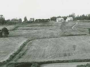
The village stood on a hilltop in a generally hilly area. The hills behind the village to the east rose sharply while those to the west were more gentle, leading down to the Wadi Milh highway some 3 km to the northwest. The village's name derived from rihan, Arabic for "sweet basil," a cultivated herb used in Mediterranean cuisine. Al-Rihaniyya had a mosque and a boys' elementary school, established around 1887 during Ottoman rule. This school was closed during the Mandate. There were numerous springs along the wadi which bounded the village on the north and west; both the wadi and the springs were used as sources of water. Agriculture and animal husbandry dominated the village's economy. Its most important crops were grain and fruit. In 1944/45 a total of 1,761 dunums was allotted to cereals; 73 dunums were irrigated or used for orchards. Khirbat Furayr, which has been identified as an archaeological site, lay about 1.5 km northwest of the village it has not yet been dated.
The village was reportedly one of the last to be occupied in the aftermath of the battle of Mishmar ha-Emeq . The New York Times reported that al-Rihaniyya was occupied along with Daliyat al-Rawha' and al-Butaymat on 14 April. By that time, the Arab Liberation Army forces in the vicinity had been routed and some ten other villages had also been overrun, according to the Times correspondent. However, al-Rihaniyya may not have been securely under Haganah control for a couple of weeks, since the villages to the north and west of it were captured at the end of April following the fall of Haifa. Some Haganah units were ordered to 'secure' the approaches to the city in the context of Operation Bi'ur Hametz ('Passover Clearing), the offensive launched to secure the hinterland of Haifa after the fall of that city. ![]()
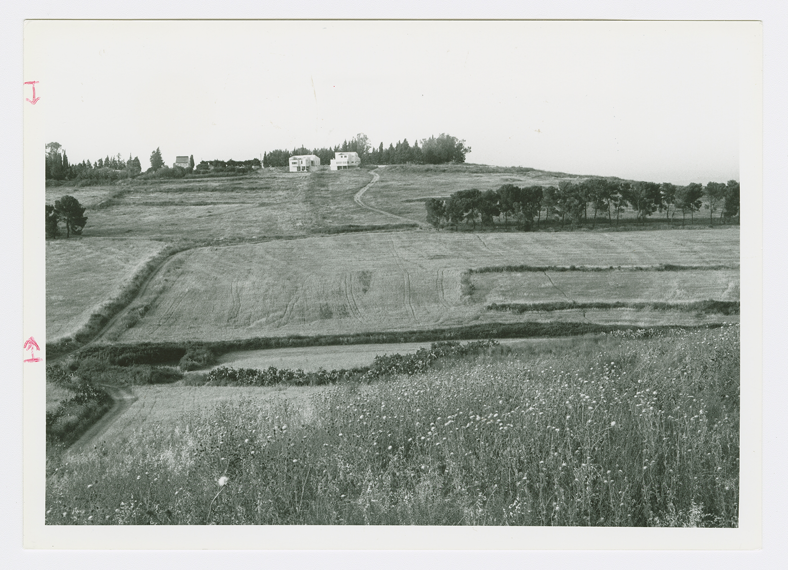
Ramat ha-Shofet, established in 1941, and En ha- Emeq, built in 1944, together occupy an arc of land that partially encircled the village on the north, east, and south. At the time of their construction they were not on village lands but were very close (about 0.5 km) to the village site. Currently their inhabitants make use of village land.
The rubble of the houses lies in piles that are covered with dirt, bushes, and thorns. The village cemetery (now covered with cactuses) and a well are visible at the bottom of a hill north of the site. Large sections of the adjacent land are used for agriculture to the south there is an avocado orchard.
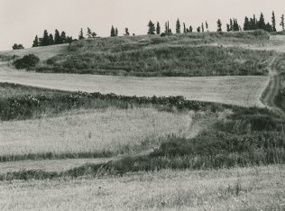
A view northwards from the center of the village site. The cemetery was located on the north side of the village next to the cactus. The settlement of 'En ha-'Emeq appears in the background.

Portions of village land now used for agriculture.