PLace

Tall al-Shawk

Place
Tall al-Shawk — تَلّ الشَوْك
District
Galilee
Subdistrict
Baysan
Average Elevation
-100 m
Distance from Baysan
5 km
Population
Year Arab Total
1931 41
1944/45 120 120
Land Ownership (1944/45) in dunums
Year Arab Jewish Public Total
1944/45 65 3116 504 3685
Land Use (1944/45) in dunums
Use Arab Jewish Public Total
Non-Cultivable & Built-up (Total)
Use Arab Public Total
Non-Cultivable 18 504 522
18 504 522 (14%)
Cultivable (Total)
Use Arab Jewish Total
Citrus and Bananas 24 24
Plantation and Irrigable 14 40 54
Cereal 33 3052 3085
47 3116 3163 (86%)
Number of Houses (1931)
11

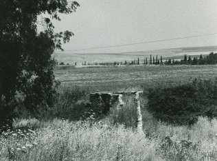
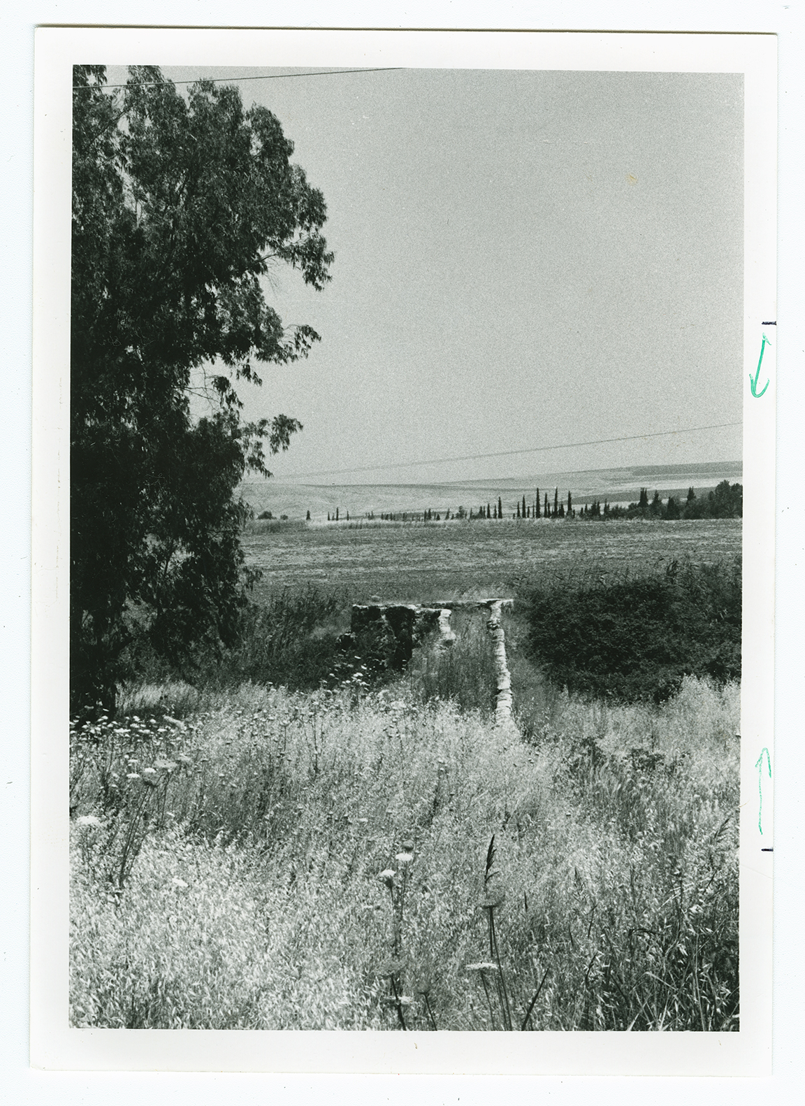
The village was situated between the Jamma'in River (on the north) and Wadi al-Jawsaq (on the south), on flat terrain that sloped gradually towards the northeast, near the foot of the al-Faqqu'a Mountains (also known as the Jilbu' Hills). The spring of Ayn al-Jawsaq flowed 0.5 km south of the site, and a dam equipped with a water-powered mill stood about 0.2 km to the west. Tall al-Shawk was linked directly to Baysan by a secondary road; dirt paths connected it to neighboring villages. It had a rectangular plan. Its inhabitants were Muslims. In 1944/45 a total of 33 dunums of what was left of village land was allocated to cereals; 14 dunums were irrigated or used for orchards. As its name suggested, the village was built on a mound in which traces of earlier buildings were visible. The nearby Tall al-Shaykh Humud (192211) had granite columns on its surface.

There are no Israeli settlements on village lands.

No traces of the village remain. The site itself is covered with weeds and thorns and is traversed by a man-made canal. Two large eucalyptus trees can be seen on the site. The land around Wadi al-Jawsaq is cultivated by the settlement of Nir David, which was established in 1936, on the nearby lands of al-Sakhina.