| Year | Arab | Total |
|---|---|---|
| 1931 | 625 | |
| 1944/45 | 870 |
| Year | Arab | Jewish | Public | Total |
|---|---|---|---|---|
| 1944/45 | 4031 | 1139 | 3 | 5173 |
| Use | Arab | Jewish | Public | Total | ||||||||||||||||
|---|---|---|---|---|---|---|---|---|---|---|---|---|---|---|---|---|---|---|---|---|
|
1665 | 2 | 3 | 1670 (32%) | ||||||||||||||||
|
2366 | 1137 | 3503 (68%) |
The village stood on a small, round hill on the west bank of the Jordan River, 2.5 km south of Lake Tiberias and 1 km south of the point where Wadi al-Fajjas emptied into the Jordan. A secondary road linked it to the village of Samakh, on the southern tip of Lake Tiberias. Al-'Ubaydiyya was established on what were perhaps the ruins of the Canaanite town of Bayt Shamash (Joshua 19:22; not to be confused with the village of Bayt Shamash in the Jerusalem area). When Edward Robinson, an American biblical scholar, was traveling in Palestine in the mid-nineteenth century, he was told that al-'Ubaydiyya was one of several places lying south of Lake Tiberias. The authors of the Survey of Western Palestine described it in 1881 as a village of about 200 Muslims, built on a round tell close to the Jordan River.
Because the site was located on a sharp bend in the river, the village plan conformed to this topography; it extended in a north-south direction along the bank of the river and was rectangular in shape, with a narrow southern end. Most village houses had adobe walls and were roofed with reeds plastered with mud. The village residents were Muslims. An elementary school was established in the village during the Ottoman period and continued to operate during the British Mandate. Al-'Ubaydiyya had a water-driven mill, the water for which was brought in by an elevated canal. Agriculture was the mainstay of its economy; its agricultural lands lay between the village site and the road that linked it to Samakh. Grain and vegetables occupied the largest land area, and date palm trees were most numerous to the north of the village. In 1944/45 a total of 1,349 dunums was allotted to cereals; 1,014 dunums were irrigated or used for orchards.
Israeli historian Benny Morris writes that the residents of al-'Ubaydiyya left for the Nazareth area on 3 March 1948. He gives as reasons for their departure 'a feeling of isolation and a sense of vulnerability to Jewish attack.' Several sporadic Haganah raids on villages in the western Galilee took place in March 1948, including an assault on aI-Manara, a village only a few kilometers away, in early March. Thus, al-'Ubaydiyya may have been attacked directly or may have perceived the threat of a similar attack.
By the beginning of May, Jewish settlers near the southern shore of Lake Tiberias had begun to press for new settlements in the vicinity of al-'Ubaydiyya. Morris writes that they sent representatives to meet with a Jewish National Fund official and told him that al-'Ubaydiyya was emptied of its Arab inhabitants and suggested settlements at two sites in the neighborhood.
There are no settlements on village lands, but several settlements are east of the village site. The closest, Beyt Zera' (204232), founded in 1926, is about 1 km away.
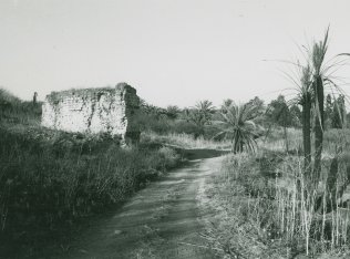
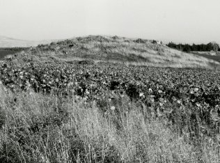
The remaining section of the walls of the canal (that provided the mill with water) is the most prominent indication of the former existence of the village. Ruins of houses, piles of stones, the bases of walls, terraces, and date palms can be seen on the site (see photos). The lands around the site are cultivated mainly in cotton by Israelis.
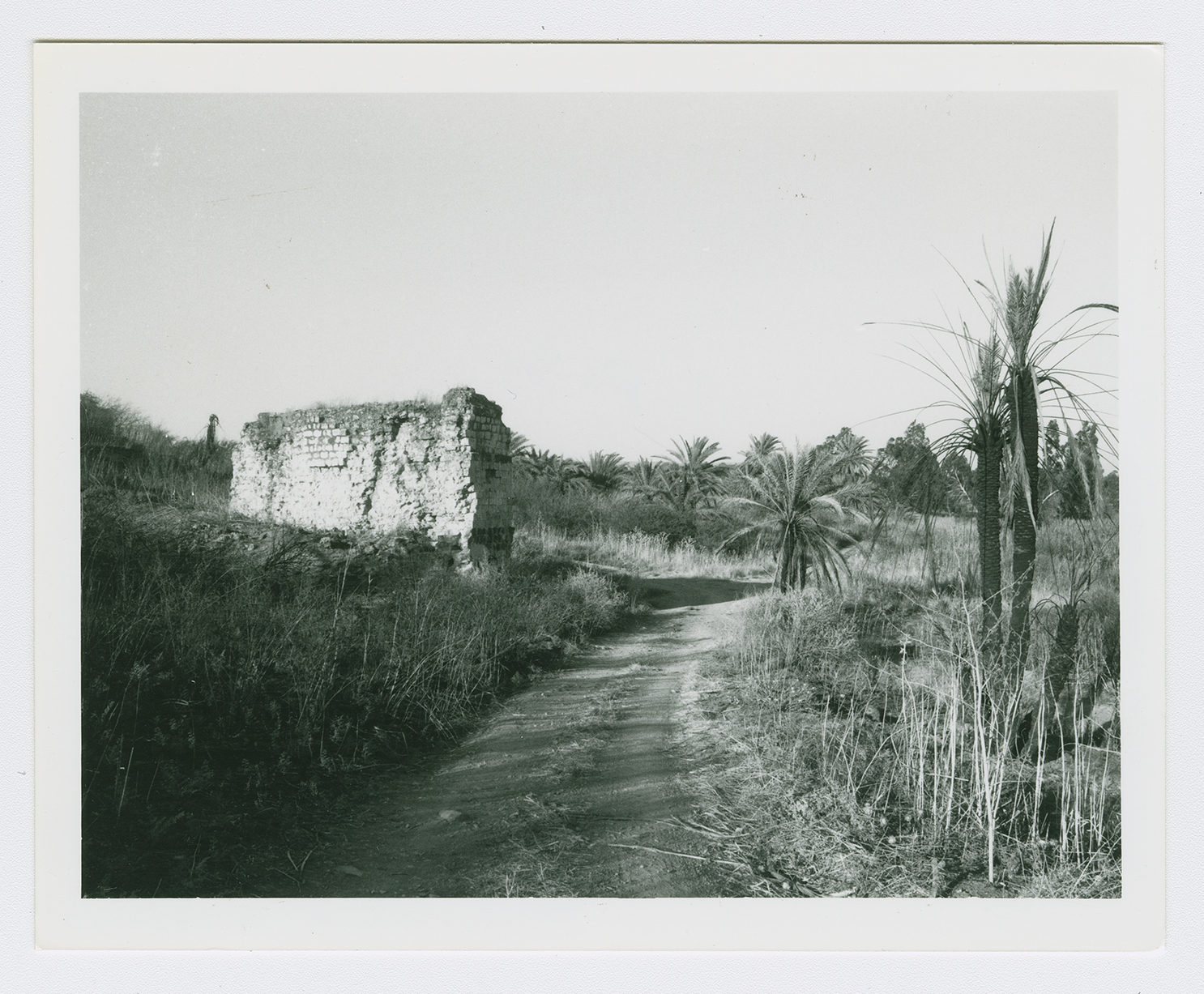
The remains of a wall supporting the water channel of the village mill.
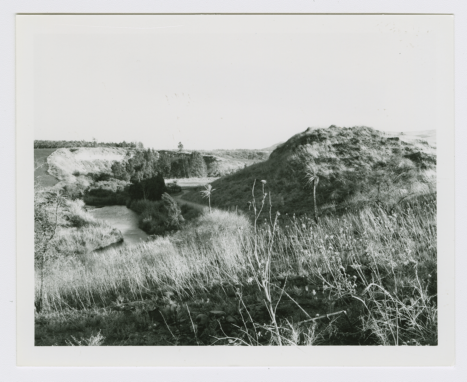
A general view of the hill of al-Ubaydiya near the river.
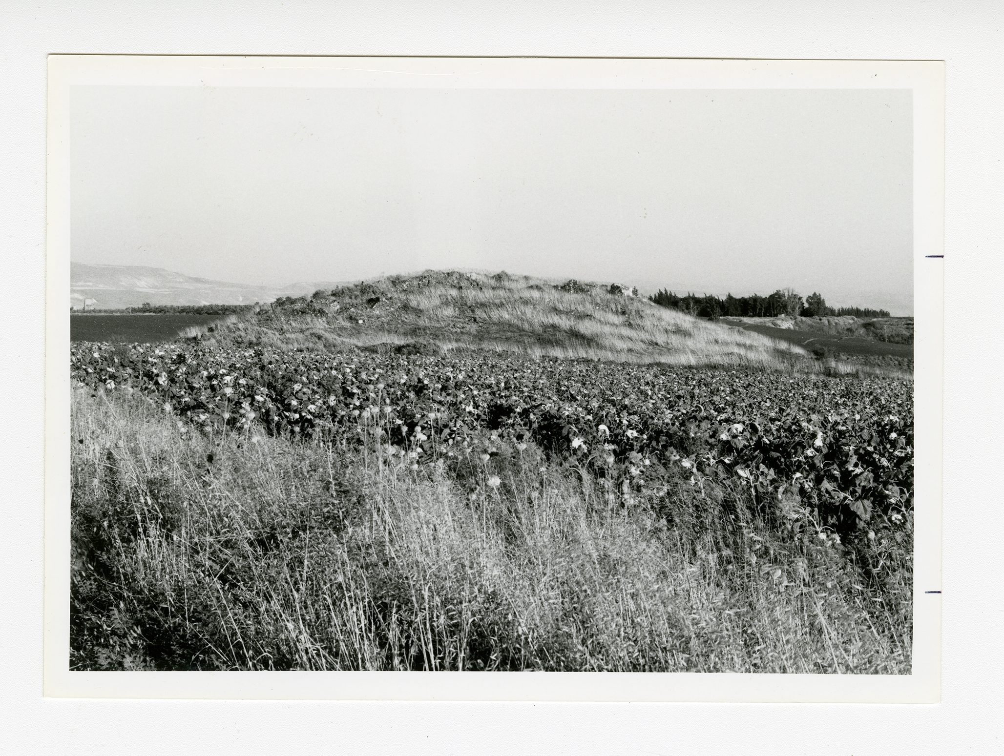
The village site with cotton fields in the foreground. View from the northwest.
