| Year | Arab | Total |
|---|---|---|
| 1931 | 416 | |
| 1944/45 * | 1130 | 1130 |
| Year | Arab | Public | Total |
|---|---|---|---|
| 1944/45 * | 11607 | 532 | 12139 |
| Use | Arab | Public | Total | |||||||||
|---|---|---|---|---|---|---|---|---|---|---|---|---|
|
515 | 532 | 1047 (9%) | |||||||||
|
11092 | 11092 (91%) |
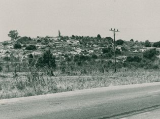
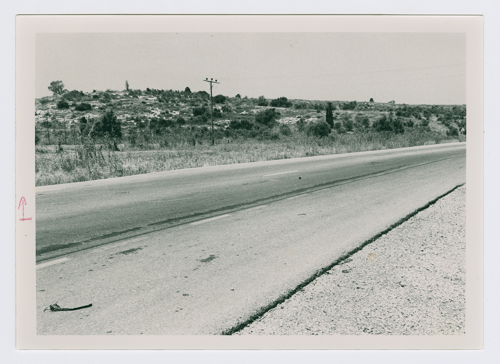
The village was the smallest of a group of three villages (known collectively as al-Ghubayyat) that were located on the eastern slopes of the bilad al-rawha' (see Daliyat al-Rawha', Haifa District) the other two villages were al-Ghubayya al-Fawqa and al-Ghubayya al-Tahta. It lay on the northern edge of a hill at the edge of a wadi bed, and overlooked the plain of Marj ibn Amir and the Nazareth hills to the north and northeast. It was adjacent to the Haifa-Jenin highway.
Al-Naghnaghiyya's population was Muslim. The village houses, scattered over the slopes, were made of stone and mud, stone and cement, or concrete. The three villages shared an elementary school that was built around 1888, during Ottoman rule; it was closed during the Mandate. They had access to a number of water sources including wadis, springs, and the al-Muqatta' River. Their economies were based on agriculture and animal husbandry, grain being the chief crop. A small area to the north of al-Naghnaghiyya was planted with fruit trees. In 1944/45 a total of 10,883 dunums of the lands of the three villages was allotted to cereals 209 dunums were irrigated or used for orchards. Next to al-Naghnaghiyya lay an artificial mound that bore the same name. Two km southeast, on the highway to Jenin, lay Tall al-Mutasallim, identified with Megiddo.
The village was reported occupied in a New York Times dispatch on 9 April 1948, when units of the Haganah broke a two-day truce in the battle for the settlement of Mishmar ha-Emeq. But Israeli historian Benny Morris states that al-Naghnaghiyya was not occupied until the night of 12-13 April. Like all villages captured in this operation, it was completely destroyed over the following days. It is not certain what happened to the residents they either fled during the attack or were expelled upon occupation, as occurred at nearby villages. ![]()
There are no Israeli settlements on village lands. Mishmar ha-Emeq, built in 1926, and Midrakh Oz, built in 1952, are the closest settlements.
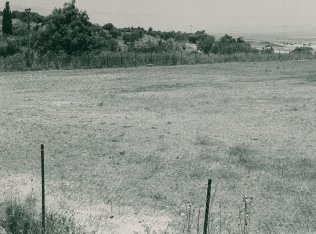
The remains of houses are scattered on the slope of one hill. The site, traversed by the Haifa-Megiddo highway and partly occupied by an Israeli soccer field, is difficult to identify.