| Year | Arab | Total |
|---|---|---|
| 1931 | 181 | |
| 1944/45 | 250 | 250 |
| Year | Arab | Public | Total |
|---|---|---|---|
| 1944/45 | 2851 | 1022 | 3873 |
| Use | Arab | Public | Total | ||||||||||||
|---|---|---|---|---|---|---|---|---|---|---|---|---|---|---|---|
|
39 | 198 | 237 (6%) | ||||||||||||
|
2812 | 824 | 3636 (94%) |
The village was built on flat terrain in the Baysan Valley, east of the highway leading to Baysan. It was on the junction of several thoroughfares, including the Baysan-Jericho highway. The village mosque was built at the intersection of two roads: one led to the village of Qa'un, and the other connected the village to Arab al-Arida. Toward the end of the Mandate, new house construction led to an expansion of the village along the highway. Of the 250 people who lived in al-Samiriyya in 1945, 240 were Muslims and 10 were Christians. In 1944/45 a total of 2,801 dunums was allocated to cereals; 11 dunums were irrigated or used for orchards. There were three archaeological sites near the village: Khirbat al-Humra , where there was a ruined mill; Tulul al-Thawm , which contained twin mounds; and Tall al-Khab.
An Israeli military assault led to the evacuation of the village on 27 May 1948. This was probably carried out in the wake of the 'clearing' of the Baysan Valley and in preparation for the failed attack on Jenin. The History of the War of Independence provides indirect support for this information, stating that at the end of May, the Golani Brigade's Fourth Battalion occupied a number of villages on the road to Jenin. AI-Samiriyya may have been captured around the same time as al-Mazar and Nuris (both of which were methodically levelled by the occupying units) in conjunction with that operation.
The settlement of Sde Terumot was established in 1951, just to the north of the site, on village lands.
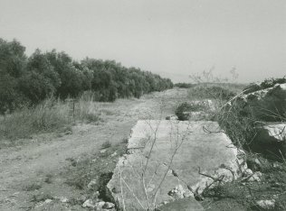
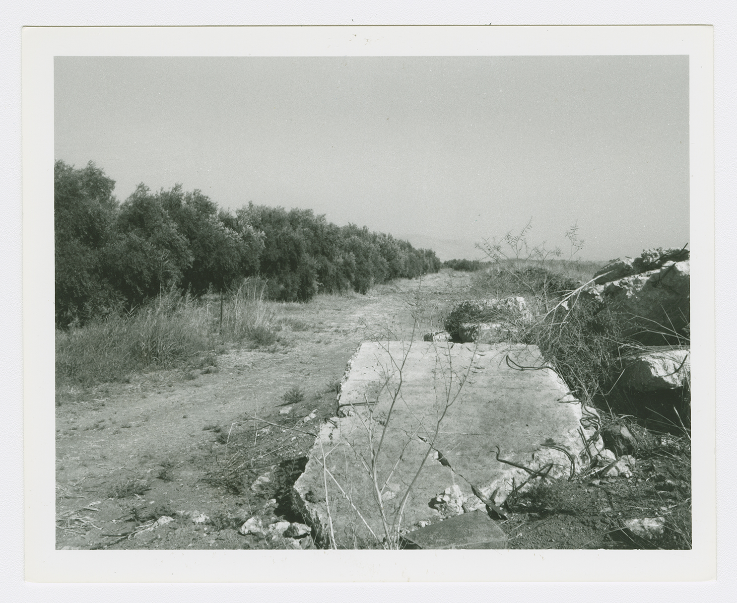
Only collapsed roofs remain; they are located on the western edge of the Sde Terumot settlement.

