PLace

'Arab al-Bawati

Place
'Arab al-Bawati — عَرَب البَواطِي
Known also as: Khirbat al-Hakamiyya, Umm al-Sharashih
District
Galilee
Subdistrict
Baysan
Average Elevation
-225 m
Distance from Baysan
4 km
Population
Year Arab Total
1931 * 461
1944/45 520 520
Land Ownership (1944/45) in dunums
Year Arab Jewish Public Total
1944/45 5412 1305 3924 10641
Land Use (1944/45) in dunums
Use Arab Jewish Public Total
Non-Cultivable & Built-up (Total)
Use Arab Public Total
Non-Cultivable 52 3656 3708
52 3656 3708 (35%)
Cultivable (Total)
Use Arab Jewish Public Total
Cereal 3135 996 268 4399
Plantation and Irrigable 2225 309 2534
5360 1305 268 6933 (65%)
Number of Houses (1931)
86
*

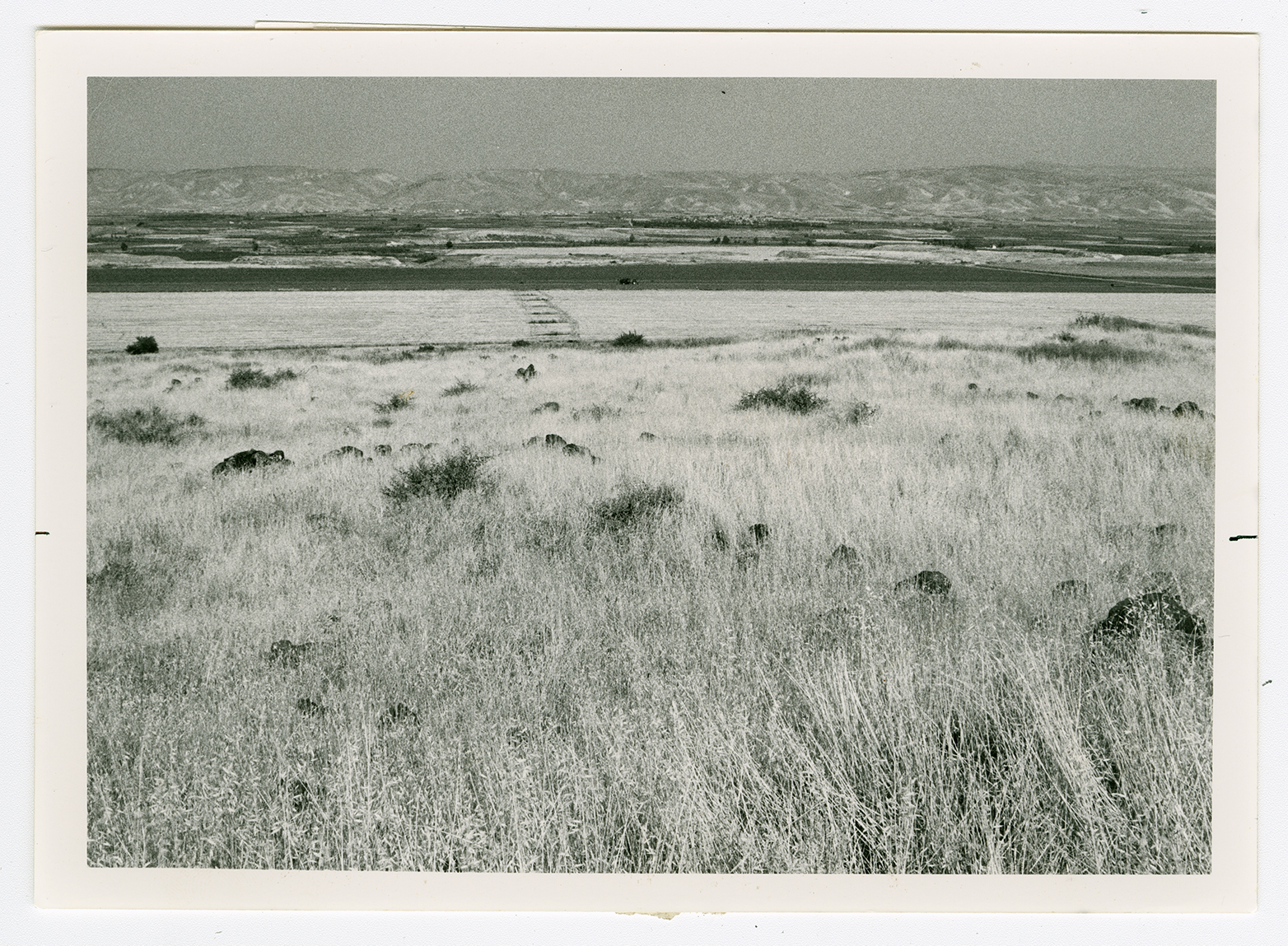
The village stood on a hill that extended from the eastern side of a mountain; it overlooked wide areas east of the Jordan Valley. A highway that led to Baysan and Tiberias passed west of the village, and a secondary road linked it to adjacent villages. Arab al-Bawati was founded by a branch of the Arab al-Ghazzawiyya Bedouin tribe. Its houses, built of adobe brick, reeds, and cane, were scattered throughout the site and interspersed with a few goat-hair tents. The entire population was Muslim. In the southern portion of the village were several springs that supplied water for domestic use as well as irrigation. Some of the lands were planted in grain, vegetables, and fruit; some were devoted to animal grazing; and some were reserved for fisheries. Agriculture was both irrigated and rainfed. In 1944/45 a total of 3,135 dunums was allotted to cereals; 2,225 dunums were irrigated or used for orchards. The people of al-Bawati relied on Baysan for commercial, educational, and administrative services. Khirbat al-Bawati, on the village site, contained the ruins of walls, pillars, the foundations of buildings, and Roman milestones.
There are no Israeli settlements on village lands. Chamadya, to the west, was founded in 1942 on lands belonging to the village of al-Hamidiyya and the town of Baysan; it is the closest Israeli settlement. It was initially named Chermonim, but in 1952 its name was changed to resemble the original Arabic name more closely.

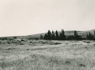
All of the village houses have been demolished. The remains of basalt stone walls and the square and circular foundations of buildings can be seen among the weeds. The site is fenced in and the surrounding lands are planted in various crops. The fisheries once used by the villagers also remain. Irrigated fields stretch to the west of it.