PLace

'Arab al-Nufay'at

Place
'Arab al-Nufay'at — عَرَب النُفَيْعات
District
Haifa
Subdistrict
Haifa
Average Elevation
25 m
Distance from Haifa
45 km
Population
Year Arab Total
1944/45 820 820
Land Ownership (1944/45) in dunums
Year Arab Jewish Public Total
1944/45 7466 1471 8937
Land Use (1944/45) in dunums
Use Jewish Public Total
Non-Cultivable & Built-up (Total)
Use Jewish Public Total
Non-Cultivable 1388 1471 2859
1388 1471 2859 (32%)
Cultivable (Total)
Use Jewish Total
Citrus and Bananas 176 176
Cereal 5902 5902
6078 6078 (68%)

The village was located on flat terrain on the southwestern tip of Haifa sub-disctrict. Its northern border was approximately 2.5 km south of Wadi al-Mafjar and its southern border was nearly 1 km north of Wadi al-Iskandaruna. The village had two small ponds or birkas. The larger one, Birkat Ata, was located in the southeast portion of the village lands, while the smaller, which was known as Birkat al-Sanakhiyya, was located in the central area. Most of the village houses of Arab al-Nufay'at were built of mud and stone. The economy of the village was based primarily on animal husbandry and agriculture. Its most important products were grain and citrus. In 1944/45 the villagers were growing citrus on 176 dunums of public land. The village lands also contained a number of historic sites and khirbas.
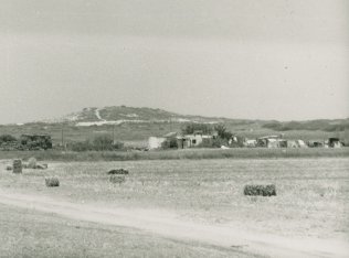
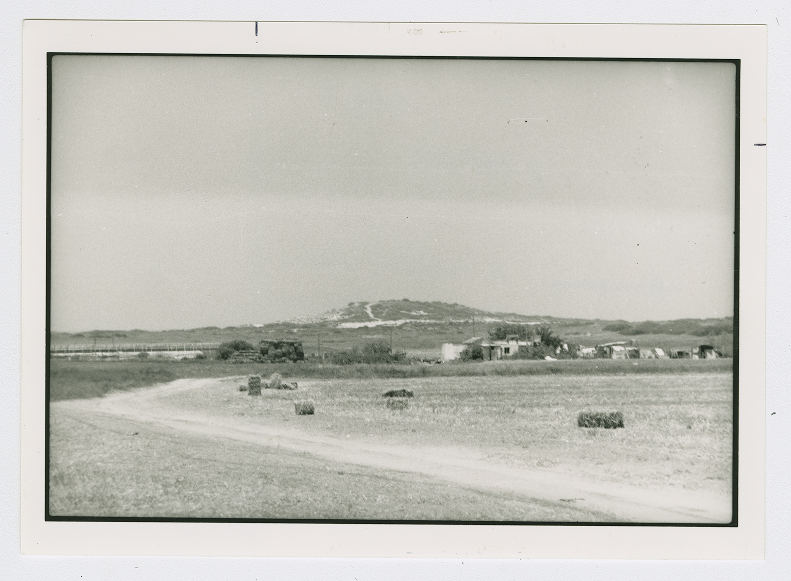
The Haganah ordered the villagers to leave on 10 April 1948. The village was demolished at the end of April and early May 1948.

The settlement of Mikhmoret, established in 1945 on village lands, is south of the site.

The only traces left of the village are one house, which is still inhabited by an Arab family, and an old mulberry tree. The Israeli army has established a military camp that covers a large area near the site. The rest of the surrounding land is planted in melons, wheat, and barley. Some mulberry and eucalyptus trees grow near the site.