| Year | Arab | Total |
|---|---|---|
| 1931 | 177 | |
| 1944/45 | 240 | 240 |
| Year | Arab | Jewish | Public | Total |
|---|---|---|---|---|
| 1944/45 | 1958 | 951 | 70 | 2979 |
| Use | Arab | Jewish | Public | Total | |||||||||||||||
|---|---|---|---|---|---|---|---|---|---|---|---|---|---|---|---|---|---|---|---|
|
1140 | 682 | 70 | 1892 (64%) | |||||||||||||||
|
818 | 269 | 1087 (36%) |
The village stood on a long hill that extended in a north−south direction, surrounded by wadis on all sides except the north. It faced the village of Suba to the south and was on the north side of the Jerusalem−Jaffa highway. Secondary roads linked it to five nearby villages. In the late nineteenth century, Bayt Naqquba was a village built on a slope with a spring to the south. The village had a rectangular outline; most of its houses and small shops were built of stone. Its residents were Muslims. A spring on the eastern edge of the village provided potable water. They planted olive trees and vineyards, which grew mainly west of the village and on the valley floors, and irrigated their crops with water drawn from the village springs. Olive trees covered 194 dunums of land, and wild plants grew at the feet of the slopes. In 1944/45 a total of 515 dunums was allocated to cereals; 303 dunums were irrigated or used for orchards, including 194 dunums planted with olive trees. Khirbat al-Khanazir (162135) and Khirbat al-Ra's (161133) were near the village.
The only information available about the capture of Bayt Naqquba is that it took place early in April 1948. This implies that it fell within the scope of Operation Nachshon, the largest Haganah operation to date. Judging from its location, Bayt Naqquba was probably captured about the same time as al-Qastal and Qalunya, both of which were levelled shortly after occupation. Israeli historian Benny Morris gives the date but does not mention the fate of the villagers.
Israel established the settlement of Beyt Neqofa (162134) in 1949 on the remains of the village.
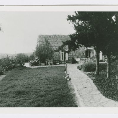
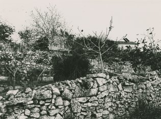
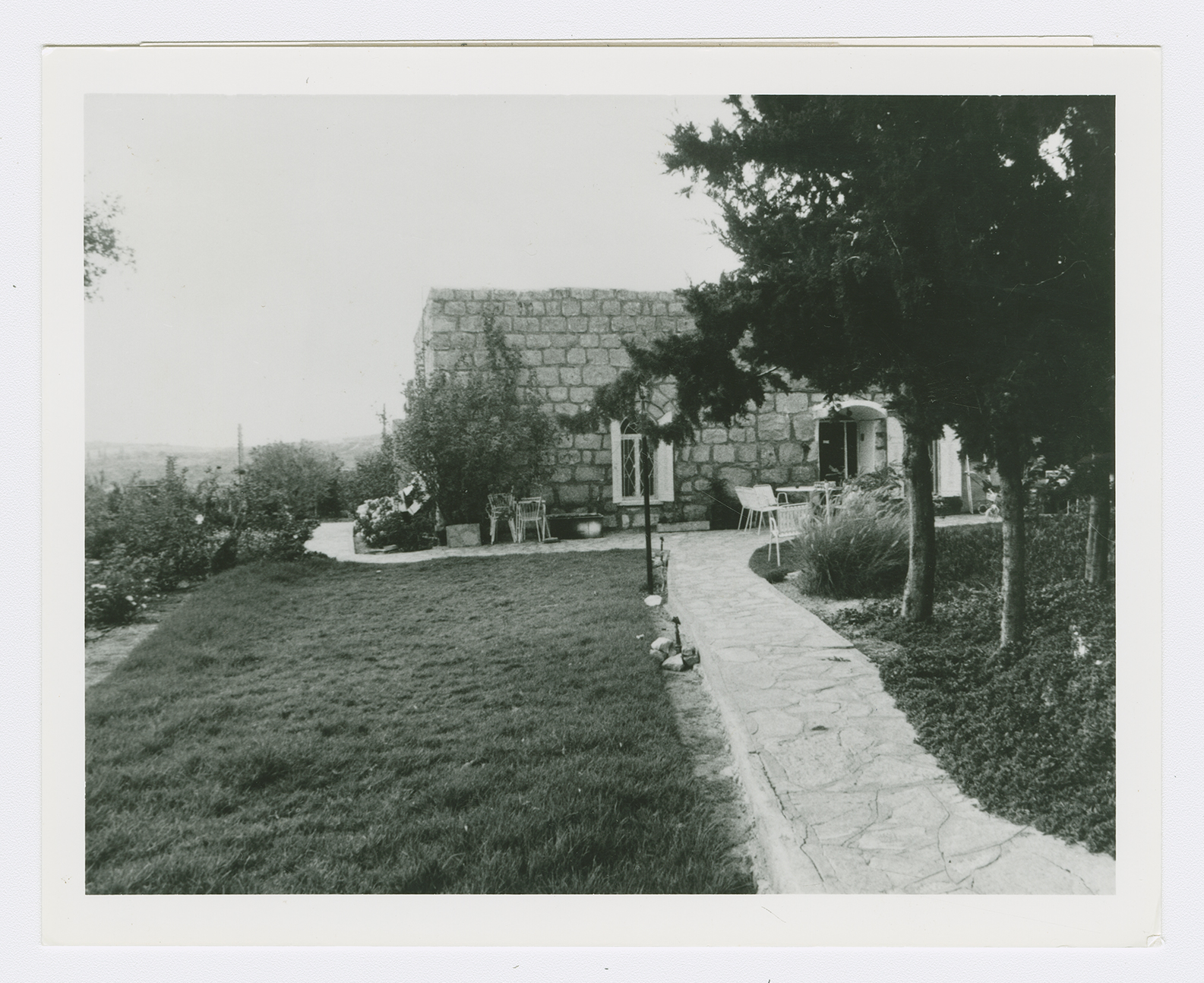
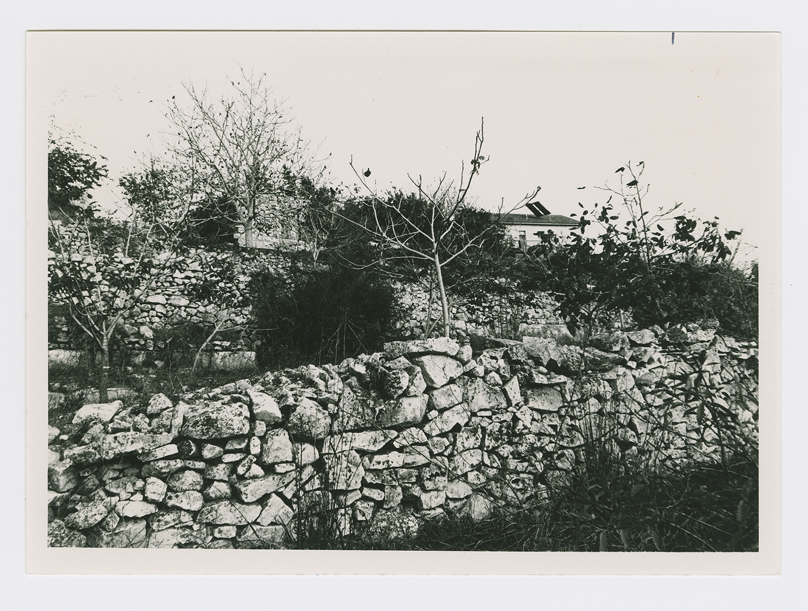
A few houses are used either as dwellings or as stables. These houses were built of stone and many had domed roofs (see photo). Stones recovered from the ruins of the village houses have been used as steps for entrances to new Jewish homes. Almond and olive trees and cactuses cover the village site. In what was probably a unique case among all the villages occupied and depopulated, a new Arab village with the same name was established south of the original site in 1962, and some refugees from the old village were allowed to live there. The old village cemetery lies about 0.5 km south of the village site. It is maintained by the more recent Arab village.
Related Content
Violence
Operations Nachshon and Har'el to Open Tel Aviv-Jerusalem Road
1948
3 April 1948 - 21 April 1948
