PLace

al-Butaymat

Place
al-Butaymat — البُطَيْمات
District
Haifa
Subdistrict
Haifa
Average Elevation
200 m
Distance from Haifa
31 km
Population
Year Arab Total
1931 112
1944/45 110 110
Land Ownership (1944/45) in dunums
Year Arab Jewish Public Total
1944/45 3832 4724 1 8557
Land Use (1944/45) in dunums
Use Arab Jewish Public Total
Non-Cultivable & Built-up (Total)
Use Arab Jewish Public Total
Built-up 4 1 5
Non-Cultivable 1312 1 1313
1316 1 1 1318 (15%)
Cultivable (Total)
Use Arab Jewish Total
Plantation and Irrigable 8 1 9
Cereal 2508 4722 7230
2516 4723 7239 (85%)
Number of Houses (1931)
29

The village stood on the slope of a small wadi in a hilly area this was in the middle of the bilad al-rawha' (the "fragrant country"; see Daliyat al-Rawha', Haifa District). It occupied a narrow strip of land that stretched from east to west. Its houses were built of stone with either cement or mud. Several springs around the site provided the village with water. Although small (the Palestine Index Gazetteer of the Mandate period classified al-Butaymat as a hamlet), this Muslim village maintained its own mosque. Its economy was based on agriculture and livestock breeding. In 1944 a total of 2,508 dunums was planted in cereals, and 8 dunums were irrigated or used for orchards.
The settlement of Even Yitzchaq, also known as Gal'ed, was established west of the village site on village lands in 1945.

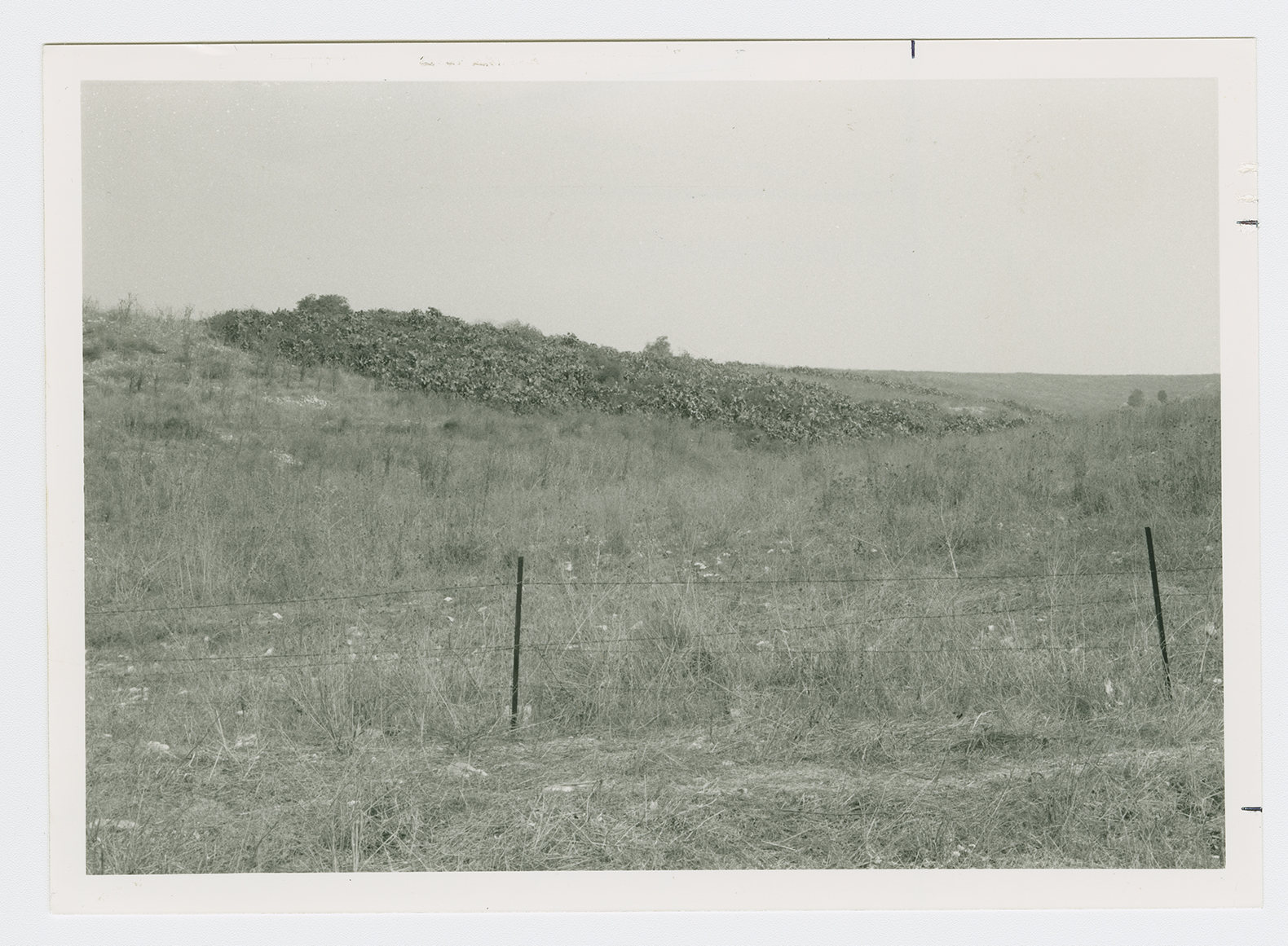
The site is fenced in, overgrown with grass and cactuses. There are no traces of houses except for adobe bricks scattered around the site. Most of the surrounding lands are used as grazing areas but some of them are cultivated.