| Year | Arab | Total |
|---|---|---|
| 1931 | 799 | |
| 1944/45 | 1150 |
| Year | Arab | Jewish | Public | Total |
|---|---|---|---|---|
| 1944/45 | 824 | 7 | 8 | 839 |
| Use | Arab | Jewish | Public | Total | ||||||||||||
|---|---|---|---|---|---|---|---|---|---|---|---|---|---|---|---|---|
|
404 | 8 | 412 (49%) | |||||||||||||
|
420 | 7 | 427 (51%) |
The village was situated on a slope of Mount Kan'an, and overlooked the Ghawr (the low-lying area along the Jordan) on all sides except the west. It was close to, and on the western side of, a highway that led to Safad and Tiberias. In 1596, al-Ja'una was a village in the nahiya of Jira (liwa' of Safad) with a population of 171. It paid taxes on a number of crops, including wheat, barley, and olives, as well as on other types of produce and property, such as goats, beehives, and a waterpowered mill. In the late nineteenth century, al-Ja'una was a village built of stone, whose 140 to 200 residents cultivated fig and olive trees.
Its entire population was Muslim. Al-Ja'una had a boys' elementary school that was founded under the Ottomans. In modern times, most of the villagers worked either in agriculture or construction. Despite meager water resources, they planted grain, olive trees, Indian figs, and grapes. In 1944/45 a total of 248 dunums was planted in cereals and 172 dunums were irrigated or used for orchards.
The fate of al-Ja'una was closely linked to that of the nearby city of Safad. Israeli historian Benny Morris writes that the evacuation of the residents of al-Ja'una occurred some time before 2 May 1948 and led to increased panic among Safad's residents. Elsewhere, Morris writes that al-Ja'una was depopulated one week later, on 9 May, at the same time as the final attack on Safad. In either case, al-Ja'una was occupied during Operation Yiftach (see Abil al-Qamh, Safad sub-disctrict), which was launched in the second half of April.
Despite the Zionist occupation of the village, some people remained in al-Ja'una at least until June 1949, when they were forcibly evicted, along with the residents of two other villages. Morris recounts that at midnight on 5 June, Israeli army trucks surrounded the villages and forced the inhabitants into the trucks 'with brutality ... with kicks, curses and maltreatment ... ' (in the words of Israeli Knesset member Eli'ezer Pra'i) and dumped them on a bare hillside near the village of 'Akbara, nearly 5 km to the southwest. When Pra'i, a member of the Mapam party, protested the expulsions, Israeli prime minister David Ben-Gurion replied that he found the military's reasons for expulsion 'sufficient.' Refugees from al-Ja'una remained in 'Akbara ' ... under degrading conditions of over-population for years,' according to Israeli sources quoted by Morris. But it is not clear when the village was ultimately depopulated.
The settlement of Ro'sh Pinna (201263) is southeast of the village site. It was first established in 1878 on land purchased from the villagers of al-Ja'una. After this first settlement failed it was reestablished in 1882. Although its population was less than 400 at the beginning of 1948, by 1953 it had 1,480 residents, most of whom were immigrants. Thus the settlement expanded beyond the area purchased by its initial founders to occupy lands that had belonged to al-Ja'una.
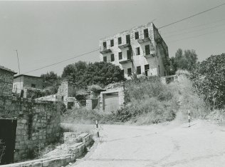
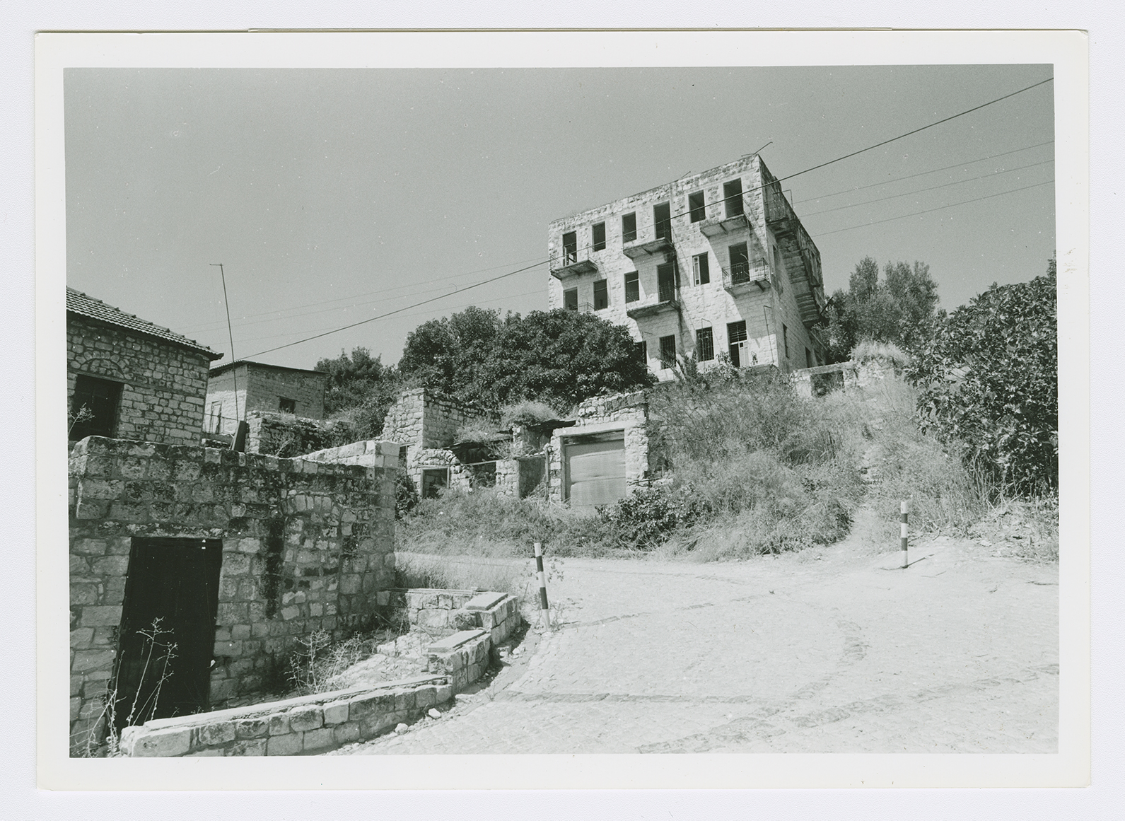
The settlement of Ro'sh Pinna occupies the village site. Many of the houses remain; some are used by the residents of the settlement; other stone houses have been abandoned and destroyed (see photo). The entrance of one house has a basket-handle arch.

