| Year | Arab | Total |
|---|---|---|
| 1944/45 * | 360 | 360 |
| Year | Arab | Public | Total |
|---|---|---|---|
| 1944/45 * | 11442 | 21 | 11463 |
| Use | Arab | Public | Total | ||||||||
|---|---|---|---|---|---|---|---|---|---|---|---|
| 2053 | 2053 (18%) | ||||||||||
*includes Jurdayh, Khirbat Idmith, Arab al-Aramisha |
8789 | 21 | 8810 (77%) |
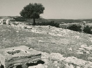
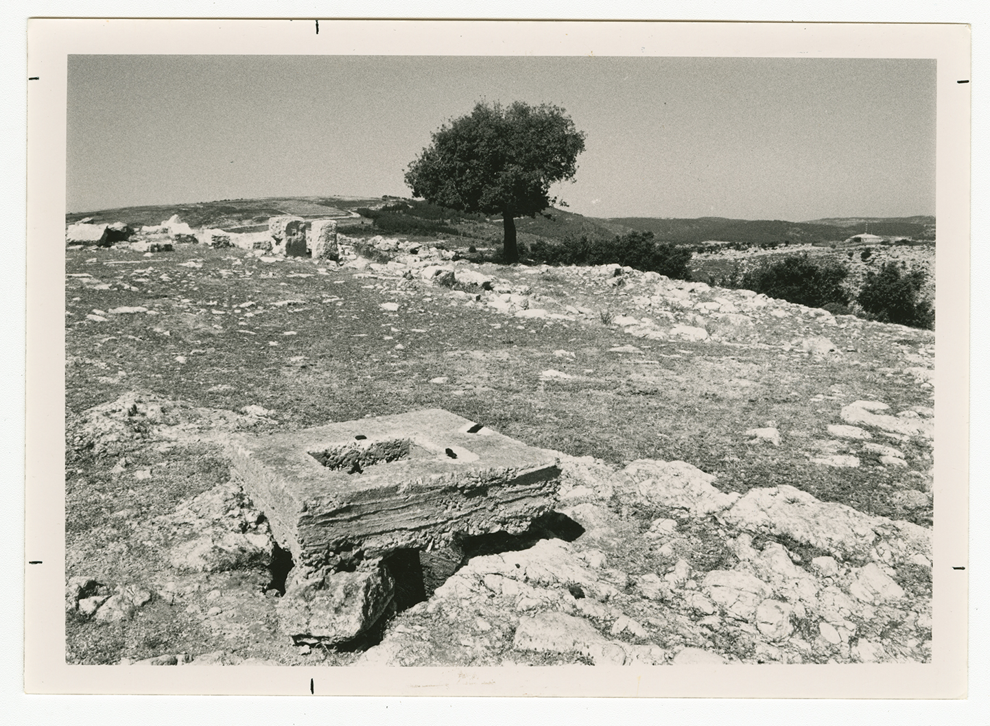
The village stood high on the north bank of Wadi Karkara. It overlooked the Lebanese border, about 1 km to the north of the site, and the Mediterranean, to the west, where the Gulf of Haifa was visible. Khirbat Iribbin was inhabited by the Arab al-Qulaytat Bedouin, who were Muslims. In 1944/45 a total of 2,637 dunums was allocated to cereals; 16 dunums were irrigated or used for orchards. The khirba contained the remains of buildings, building foundations, columns, and cisterns.
This village was located within a large pocket in the Upper Galilee that remained unoccupied until after the second truce of the war. After that truce, at the end of October 1948, Israeli forces launched Operation Hiram to conquer this large area. There is no precise information about Khirbat Iribbin, but it was almost certainly occupied by 31 October. However, its population may not have been expelled until November, along with the residents of nearby Iqrit.
The settlement of Adamit, founded in 1958, is on village land to the west of the village site. Goren, founded in 1950, close to village lands, is south of the village site.
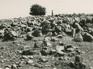
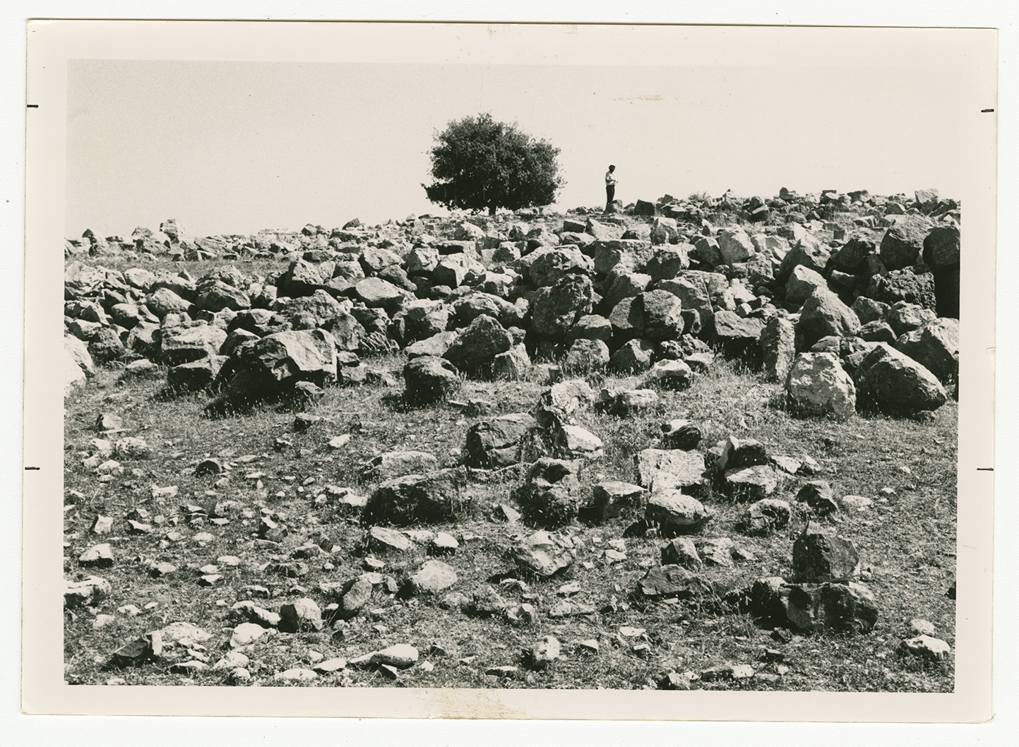
The site is covered with the debris of houses. It also has a number of wells and caves. The remains of animal shelters are located about 1 km away, and about 4 km to the east is the rubble of houses used by the Arab al-Qulaytat.


