PLace

Khirbat al-Duhayriyya

Place
Khirbat al-Duhayriyya — خربة الضُهَيْرِيََّة
District
Lydda
Subdistrict
Ramla
Average Elevation
125 m
Distance from Al Ramla
6 km
Population
Year Arab Total
1931 69
1944/45 100 100
Land Ownership (1944/45) in dunums
Year Arab Public Total
1944/45 1341 1341
Land Use (1944/45) in dunums
Use Arab Total
Non-Cultivable & Built-up (Total)
Use Arab Total
Non-Cultivable 51 51
51 51 (4%)
Cultivable (Total)
Use Arab Total
Plantation and Irrigable 66 66
Cereal 1224 1224
1290 1290 (96%)
Number of Houses (1931)
10

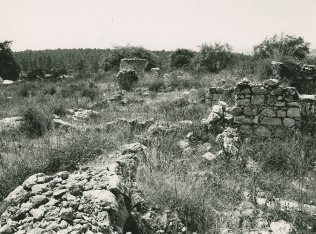
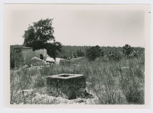
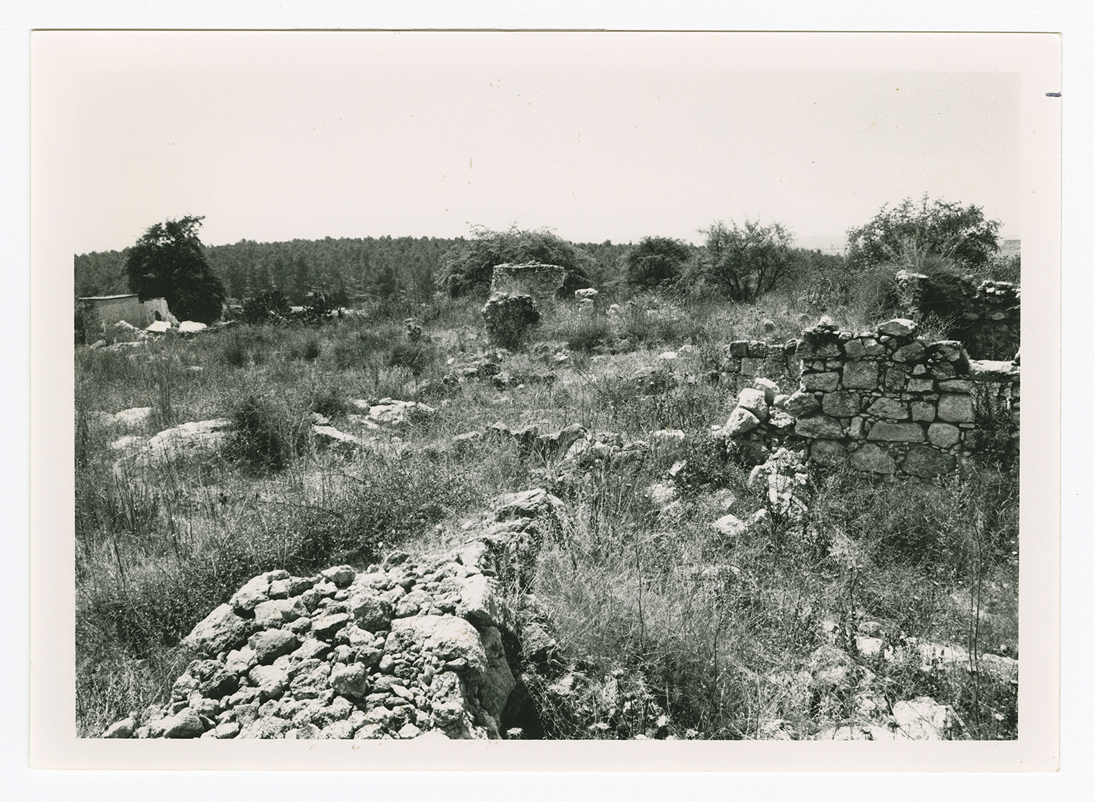
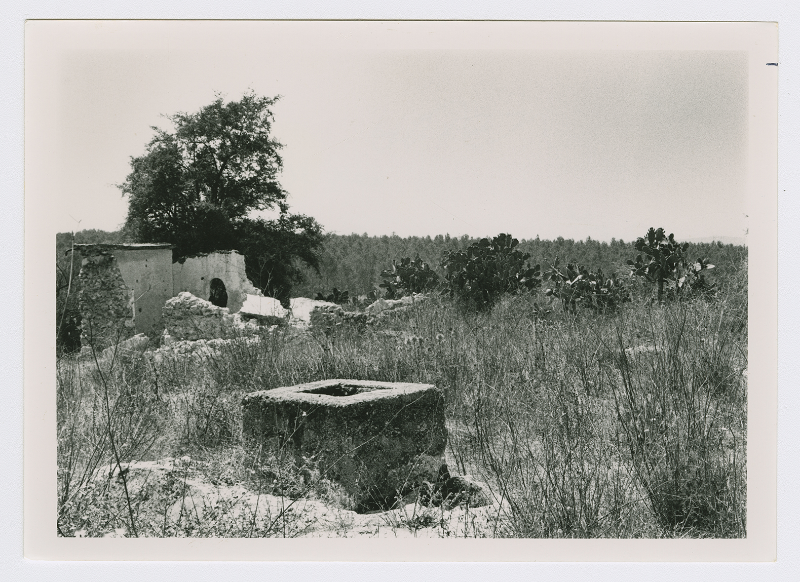
The village stood on uneven terrain on the coastal plain and was ringed by wadis. Secondary roads linked it to Lydda and neighboring villages. Its name was derived from an Arabic word, dahr, which means "mountain." Khirbat al-Duhayriyya was classified as a hamlet in the Palestine Index Gazetteer, and had a predominantly Muslim population. A well at the southeastern edge of the village provided the residents with water for their domestic needs, Their main economic activity was rainfed agriculture, the chief crops being grain, olives, and citrus. In 1944/45 a total of 1,224 dunums was allocated to cereals; 66 dunums were irrigated or used for orchards. It was evident from the still-visible foundations of earlier buildings that Khirbat al-Duhayriyya had been built with reused materials from the site. There were rock-cut cisterns and abundant pottery fragments on the site.

There are no Israeli settlements on village lands.

The walls of some ten houses still stand. Otherwise, the village has been reduced to piles of stone rubble interspersed with fig, doum palm, and almond trees, along with thickets of thorns and wild vegetation. The site is fenced in and serves as a pasture for animals. Cactuses grow along the northern and southern sides of the site (see photos).