The village was located on a round, slightly elevated mound overlooking the eastern edge of the plain of Haifa. Since scholars have identified the site as that of Roman Kefar Sasai, it is probable that at least part of the ruins visible in Khirbat Sa'sa date to the early centuries A.D. Kefar Sasai is known to have been a village near the ancient boundary of Ptolemais (Acre) and Sepphoris (later Saffuriyya, in Nazareth sub-disctrict). Khirbat Sa'sa' was classified as a hamlet by the Palestine Index Gazetteer in the Mandate era. Ruins on the site included building foundations, tombs carved in rocks, cisterns, and caves. South of the village lay Khirbat Jabyatha, an artificial mound with exposed wall fragments.
Khirbat Sa'sa' was in an area in which some other villages were seized in the early weeks of the war. However, the bulk of the communities in the vicinity were captured on the heels of the fall of Haifa, during the last week of April 1948. If the village remained unoccupied until the end of April, it was probably captured at this time by Haganah units who sought to consolidate their hold on Haifa. ![]()
There are no Israeli settlements on the village lands, which have been amalgamated with those of the Arab town of Shafa Amr.
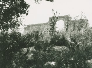
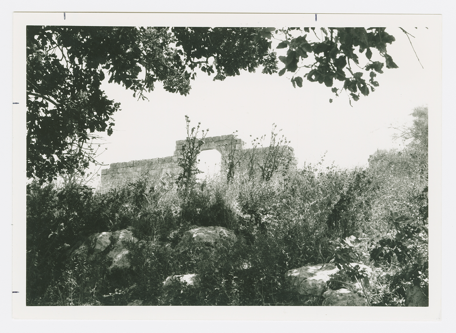
Cactuses and fig trees can be found scattered about the site. There are a number of partially collapsed stone walls, one with a large arched opening. The surrounding lands are used as a grazing area.