| Year | Arab | Total |
|---|---|---|
| 1931 | 654 | |
| 1944/45 * | 890 |
| Year | Arab | Jewish | Public | Total |
|---|---|---|---|---|
| 1944/45 * | 1838 | 294 | 36 | 2168 |
| Use | Arab | Jewish | Public | Total | ||||||||||||
|---|---|---|---|---|---|---|---|---|---|---|---|---|---|---|---|---|
*includes Arab al-Zubayd **includes Arab al-Zubayd |
77 | 36 | 113 (5%) | |||||||||||||
*includes Arab al-Zubayd |
1761 | 294 | 2055 (95%) |
The village was located on the north bank of Wadi Barid, a seasonal watercourse which flowed into the northwest corner of Lake al-Hula. This wadi was filled by water from the spring of 'Ayn Mallaha (204276), which lay to the south of the village and which was one of the most copious springs in Palestine, yeilding between 1,800 and 2,700 cubic meters of water per hour. The village of Mallaha lay along a highway that led to Safad and Tiberias. In 1157, following a breakdown in relations between Damascus and the Crusader Kingdom of Jerusalem, Mallaha was close to the site of a battle between the armies of Nur al-Din ibn Zangi (also known by his first name Mahmud) and King Baldwin III (in command of the Templars), in which the Muslims decisively defeated the Crusaders. Their king escaped, however, together with a small bodyguard.
The Syrian Sufi traveler al-Bakri al-Siddiqi, who journeyed in Palestine in the mid-eighteenth century, passed by a village named al-Mallaha, which may have been the present village.
The American biblical scholar Edward Robinson observed in 1838 that al-Mallaha lay northwest of Lake al-Hula.
The modern Mallaha had a roughly rectangular configuration that stretched from north to south. Its entire population was Muslim. Agriculture was the mainstay of the village's economy. In 1944/45 a total of 1,761 dunums was allocated to cereals.
Israeli forces seized Mallaha at the very end of Operation Yiftach (see Abil al-Qamh, Safad sub-disctrict), on 25 May 1948. They induced the villagers to flee by carrying out a campaign of psychological warfare. However, a direct attack, which may have included the use of mortars, cannot be ruled out, since most of the psychological warfare was conducted some ten days before the reported date of evacuation. Furthermore, Zionist forces directed mortar fire against a number of other neighboring villages at this time in the context of Operation Yiftach.
There are no Israeli settlements on village lands. The settlement of Yesud ha-Ma'ala (207273), founded in 1883, is some 5 km to the southeast.
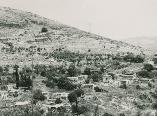
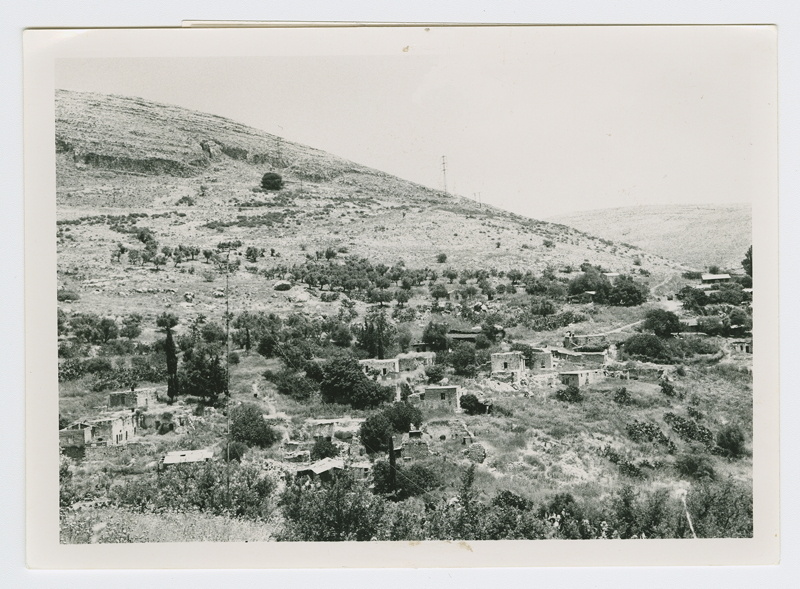
The sandy hill on which the village was situated is completely overgrown with tall grass, cactuses, and weeds, as well as an assortment of fig, eucalyptus, and date-palm trees. Amidst the overgrowth, stone rubble from destroyed houses can be seen. The surrounding land is cultivated by the settlement of Yesud ha-Ma'ala.

