| Year | Arab | Jews | Total |
|---|---|---|---|
| 1931 | 197 | ||
| 1944/45 | 100 | 180 | 280 |
| Year | Arab | Jewish | Public | Total |
|---|---|---|---|---|
| 1944/45 * | 976 | 2222 | 2675 | 5873 |
| Use | Arab | Jewish | Public | Total | |||||||||||||||
|---|---|---|---|---|---|---|---|---|---|---|---|---|---|---|---|---|---|---|---|
*includes Kefar Ruppin **includes Kefar Ruppin |
22 | 96 | 2228 | 2346 (40%) | |||||||||||||||
*includes Kefar Ruppin **includes Kefar Ruppin |
954 | 2126 | 447 | 3527 (60%) |
The village stood on flat terrain and overlooked a wide, open area to the east, beyond which was the Jordan Valley. Two fords (
Masil al-Jizl was initially founded by members of the Arab al-Zinati Bedouin tribe. Some of their houses were scattered among the various springs from which they drew their water; others were clustered along the roads linking Masil al-Jizl to Baysan and other villages. Most of these houses were made of adobe and cane. The villagers were Muslims and earned their livelihood by cultivating crops such as grains and vegetables. In 1944/45 a total of 702 dunums was allocated to cereals; 252 dunums were irrigated or used for orchards. To the south of the village stretched the
Although no specific information about the occupation of Masil al-Jizl is available, it can reasonably be assumed that the village was occupied at the same time as other villages on the Jordan River in the vicinity of Baysan. Most of those communities were overrun by the Golani Brigade at the end of May 1948. The villagers may have been expelled to Transjordan, as were other inhabitants of the area.
Zionists established the settlement of Kefar Ruppin to the north of the village in 1938 on what was traditionally village land.
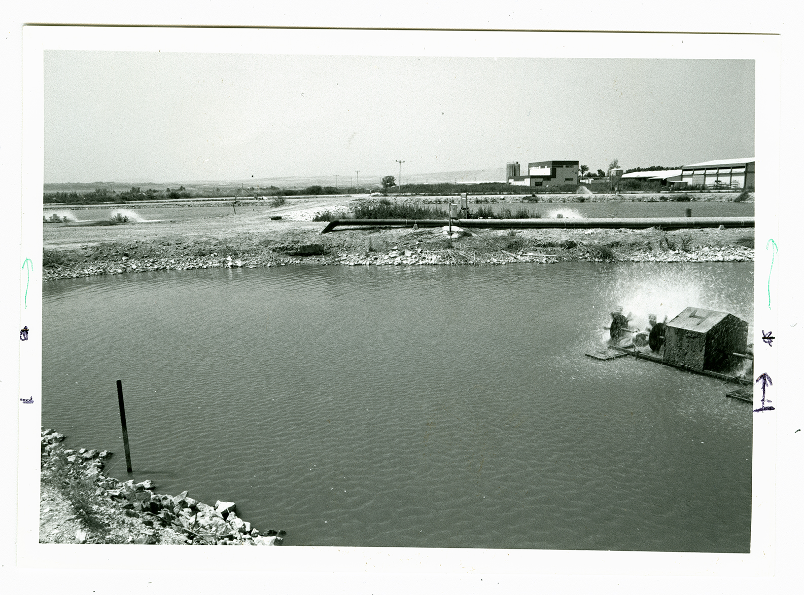
The site is partly covered by fish ponds and by warehouses that belong to the kibbutz of Kefar Ruppin. Wadi Masil al-Jizl passes through this kibbutz.

