| Year | Arab | Total |
|---|---|---|
| 1931 | 447 | 447 |
| 1944/45 | 540 | 540 |
| Year | Arab | Public | Total |
|---|---|---|---|
| 1944/45 | 11286 | 173 | 11459 |
| Use | Arab | Public | Total | ||||||||||||
|---|---|---|---|---|---|---|---|---|---|---|---|---|---|---|---|
|
3921 | 173 | 4094 (36%) | ||||||||||||
|
7365 | 7365 (64%) |
The village stood atop a long hill, extending in an east-west direction and ringed by a shallow wadi. It overlooked an expanse of the coastal plain in the west and faced the broad range of the Jerusalem Mountains in the east. A secondary road that had once been the caravan route between Bayt Jibrin and Ramla passed next to the village and afforded it access to these two centers. In 1596, Mughallis was a village in the nahiya of Gaza (liwa' of Gaza), with a population of 424. It paid taxes on a number of crops, including wheat, barley, and fruits, as well as on other types of produce, such as goats and beehives. People from the surrounding villages came to Mughallis to obtain water from its well because they believed that this water helped dissolve kidney stones.
The villagers, who were Muslim, relied on rainfed agriculture for their livelihood, growing chiefly grain. They also cultivated vegetables and fruits. In 1944/45 a total of 7,277 dunums was allotted to cereals 88 dunums were irrigated or used for orchards, of which 55 dunums were planted with olive trees. In addition to the village itself, which was built over an archaeological site, there were two other sites -Khirbat Ghallus and Khirbat Samra- which contained archaeological artifacts.
During the Ten Days that separated the two truces of the war (8-18 July 1948), Israeli forces launched Operation An-Far on the southern front. Mughallis was occupied on 9-10 July during the first stage of the operation, according to Israeli historian Benny Morris.
Gefen, founded in 1955, is north of the village site, on village land.
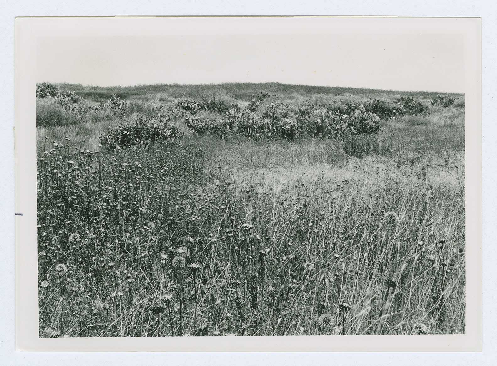
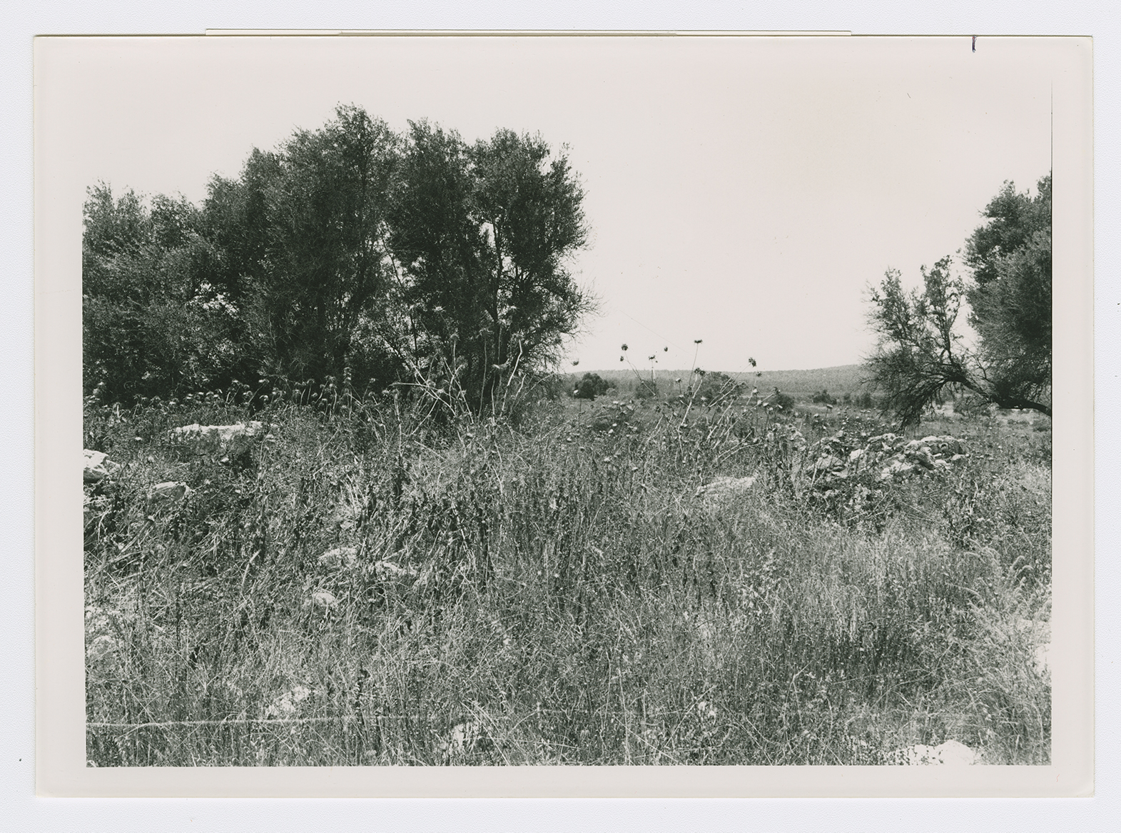
The site and surrounding area are fenced in. The debris from the houses have been levelled, and one can still see building components. Remnants of a house on the east side are ringed by stone markers that formerly identified the boundaries of a home garden. Numerous trees, including olive and carob trees, grow on all sides, and cactuses are found on the northern and southern edges.
Related Content
Violence
End of First Truce: Israeli Operations An-Far, Dani and Qedem
1948
8 July 1948 - 17 July 1948


