| Year | Arab | Total |
|---|---|---|
| 1931 | 470 | |
| 1944/45 | 560 | 560 |
| Year | Arab | Jewish | Public | Total |
|---|---|---|---|---|
| 1944/45 | 10427 | 132 | 140 | 10699 |
| Use | Arab | Jewish | Public | Total | |||||||||||||||
|---|---|---|---|---|---|---|---|---|---|---|---|---|---|---|---|---|---|---|---|
|
6384 | 9 | 110 | 6503 (61%) | |||||||||||||||
|
4043 | 123 | 30 | 4196 (39%) |
The village stood on a high plateau that stretched north−south and descended steeply on its northern edge, where it overlooked the Jerusalem−Jaffa highway. The village also overlooked wide areas on all sides, especially the western side, where Ramla and Lydda could be seen with the naked eye. Forests around the site enhanced the beauty of its scenery. In 1596, Saris was a village in the nahiya of Jerusalem (liwa' of Jerusalem) with a population of 292. It paid taxes on a number of crops (including wheat, barley, olives, fruit, and carob) as well as on other types of produce and property, such as goats, beehives, and vineyards. In the late nineteenth century, Saris was located on top of a hill, with olive trees growing below the village.
The village layout was arc-shaped, in conformity with the contours of the site. Most of its houses were constructed of stone. Its population was Muslim, and there was a mosque in the village center, along with a few shops. The villagers relied on springs and wells for their domestic water needs. Agriculture was their main economic activity. In 1944/45 a total of 3,677 dunums was allocated to cereals; 366 dunums were irrigated or used for orchards. There were several khirbas in the area.
Saris was demolished towards the end of Operation Nachshon (see Bayt Naqquba, Jerusalem sub-disctrict). While the History of the Haganah reports that it was taken on 13 April, other sources indicate that the attack occurred a few days later, on 16 April. Yet in the following month, the Arab Liberation Army recorded an attack on nearby Bayt Mahsir on 9 May which 'failed at the village of Saris.' It appears, then, that although the village was destroyed in the mid-April attack―Palestinian historian 'Arif al-'Arif states that 35 houses were demolished―it was not held firmly by the Haganah and subsequently remained on the front-lines. The New York Times put the number of houses destroyed at 25, in addition to the village mosque and a school. It also stated that 7 Arabs were killed by the Haganah task force of 500 soldiers which attacked in the early morning, using mortars and small arms before withdrawing. A Haganah statement was quoted as saying that the battalion stayed in the village about five hours, blowing up 25 buildings and burning others. The statement admitted that some women may have been among the casualties, but maintained that the residents were evacuated at the beginning of the attack. The Haganah also made the improbable claim that Syrian soldiers were encountered at the village. Israeli historian Benny Morris quotes an official British dispatch issued later that month which implied that the people of Saris fled under the influence of the massacre at nearby Deir Yasin (Jerusalem sub-disctrict) on 9 April.
Shortly before the village was taken, on 13 April, Haganah chief Israel Galili wrote to senior Jewish National Fund (JNF) official Yosef Weitz asking for a settlement to be established at Saris 'as soon as possible.' Galili said that the establishment of settlements at this and seven other sites was regarded as 'important to security,' according to Morris. A JNF plan submitted on 20 August called for a settlement to be built on the site; Shoresh was inaugurated later that year.
The settlement of Shoresh (156133) was established 1 km southwest of the site in 1948. The settlement of Sho'eva (157134), established in 1950, is 0.5 km to the northeast. Both are on village land.
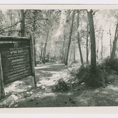
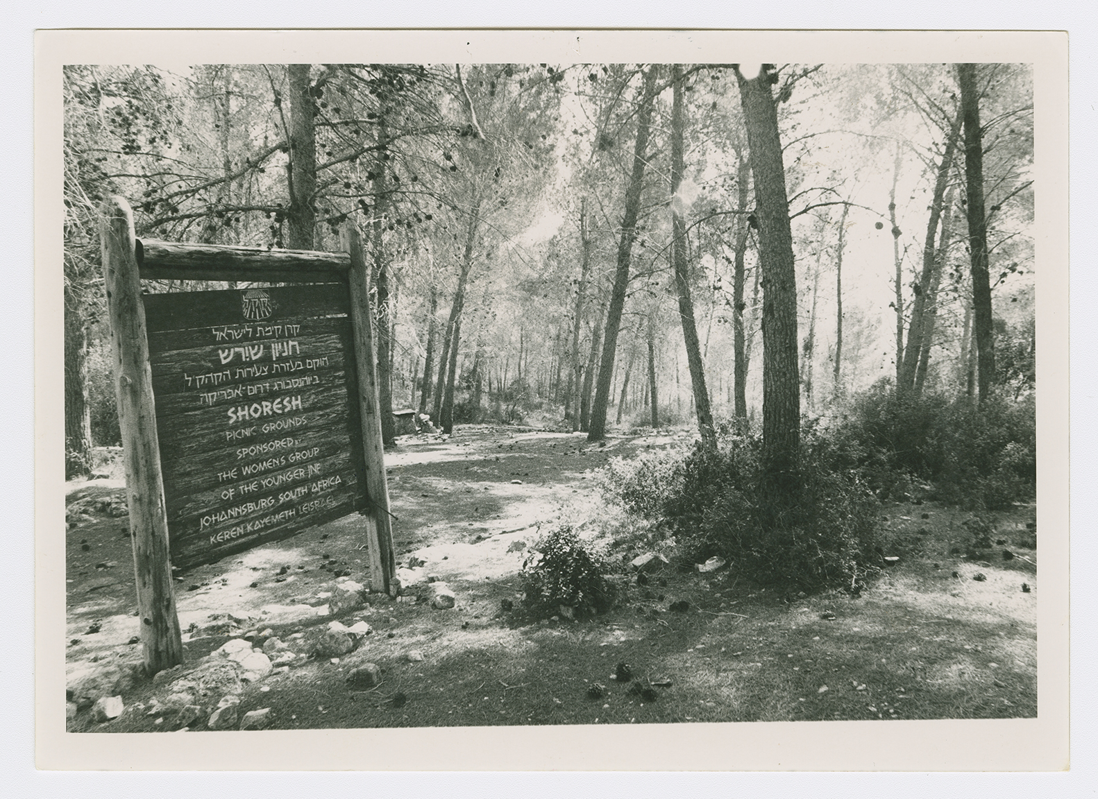
The site is covered with stone rubble; iron bars protrude from the collapsed roofs. There are many open wells and several caves with arched roofs. A large number of trees, including cypress, fig, and almond trees, grow on the site. An abandoned grove of almond trees is located on the eastern side. In the middle of the slope are the remains of an artificial pool. The village cemetery, surrounded by trees, is located southwest of the site. It contains several large tombs, one of which is surrounded by a small, roofless enclosure; an almond tree grows in the center. The Shoresh forest, named after the Israeli settlement, was established by the youth of the Jewish National Fund in Johannesburg, South Africa (see photo). Another forest in the area, dedicated to several notable Jews, has been planted under the auspices of the Center for European Jewry.
Related Content
Violence
Operations Nachshon and Har'el to Open Tel Aviv-Jerusalem Road
1948
3 April 1948 - 21 April 1948


