| Year | Arab | Total |
|---|---|---|
| 1931 | 127 | |
| 1944/45 * | 180 | 180 |
| Year | Arab | Jewish | Public | Total |
|---|---|---|---|---|
| 1944/45 * | 7415 | 294 | 327 | 8036 |
| Use | Arab | Jewish | Public | Total | |||||||||||||||
|---|---|---|---|---|---|---|---|---|---|---|---|---|---|---|---|---|---|---|---|
|
300 | 307 | 607 (8%) | ||||||||||||||||
|
7115 | 294 | 20 | 7429 (92%) |
The village stood on a limestone hill on generally hilly terrain. It was somewhat isolated due to the terrain and the absence of roads other than dirt paths. In the late nineteenth century, Bi'lin was a small village built of adobe bricks and stone, with mud used for mortar. ![]() The village had two wells, a school (founded in 1937), and some shops. The shrine of Shaykh Ya'qub was east of the village. Some village land was used for grazing goats and sheep, but most was used for rainfed agriculture; the villagers grew grain and fruit, including grapes, figs, and almonds. In 1944/45 a total of 6,972 dunums was allotted to cereals; 143 dunums were irrigated or used for orchards. The villagers also produced milk products and wool.
The village had two wells, a school (founded in 1937), and some shops. The shrine of Shaykh Ya'qub was east of the village. Some village land was used for grazing goats and sheep, but most was used for rainfed agriculture; the villagers grew grain and fruit, including grapes, figs, and almonds. In 1944/45 a total of 6,972 dunums was allotted to cereals; 143 dunums were irrigated or used for orchards. The villagers also produced milk products and wool.
Bi'lin was one of more than sixteen villages occupied during Operation An-Far. The village probably fell in the first stage of the offensive, on 9–10 July 1948, to the First Battalion of the Giv’ati Brigade. ![]()
No settlement was established on village land, but the inhabitants of Qedma, established northwest of the village in 1946, now use some of the village lands.
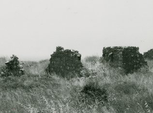
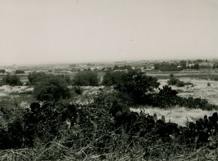
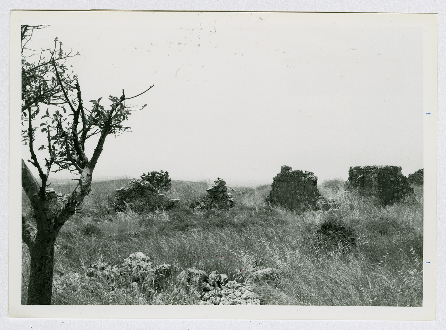
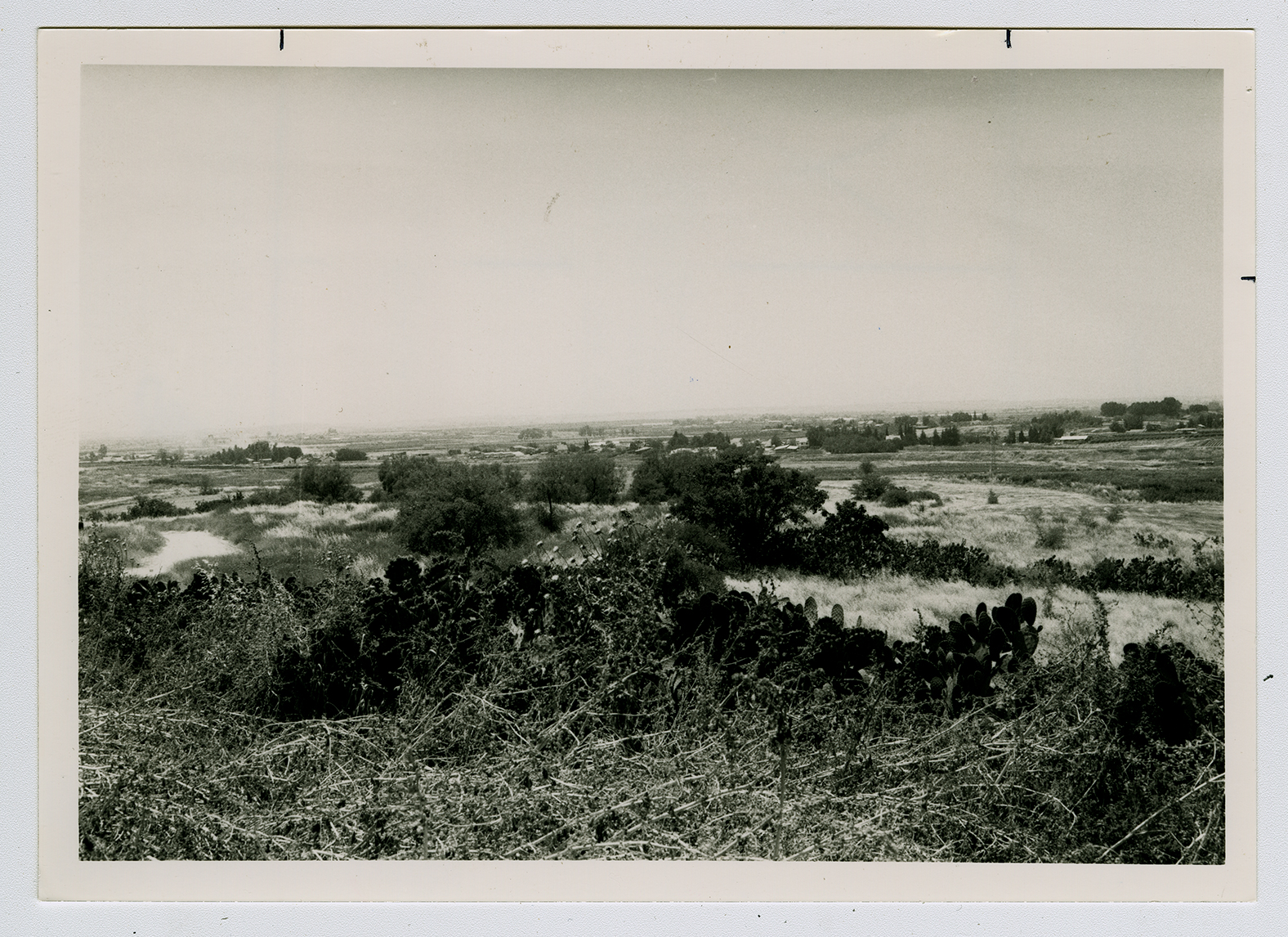
All that remains is the rubble of a few houses, with wild herbs and thorns growing on the site, along with some trees and cactus plants. The site is surrounded by barbed wire. Parts of the surrounding land are planted with mango trees and grapes, while other parts serve as pastures.