PLace

Khirbat al-Mansura

Place
Khirbat al-Mansura — خِرْبَة المَنْصورَة
District
Haifa
Subdistrict
Haifa
Average Elevation
100 m
Distance from Haifa
18.5 km

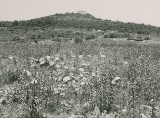
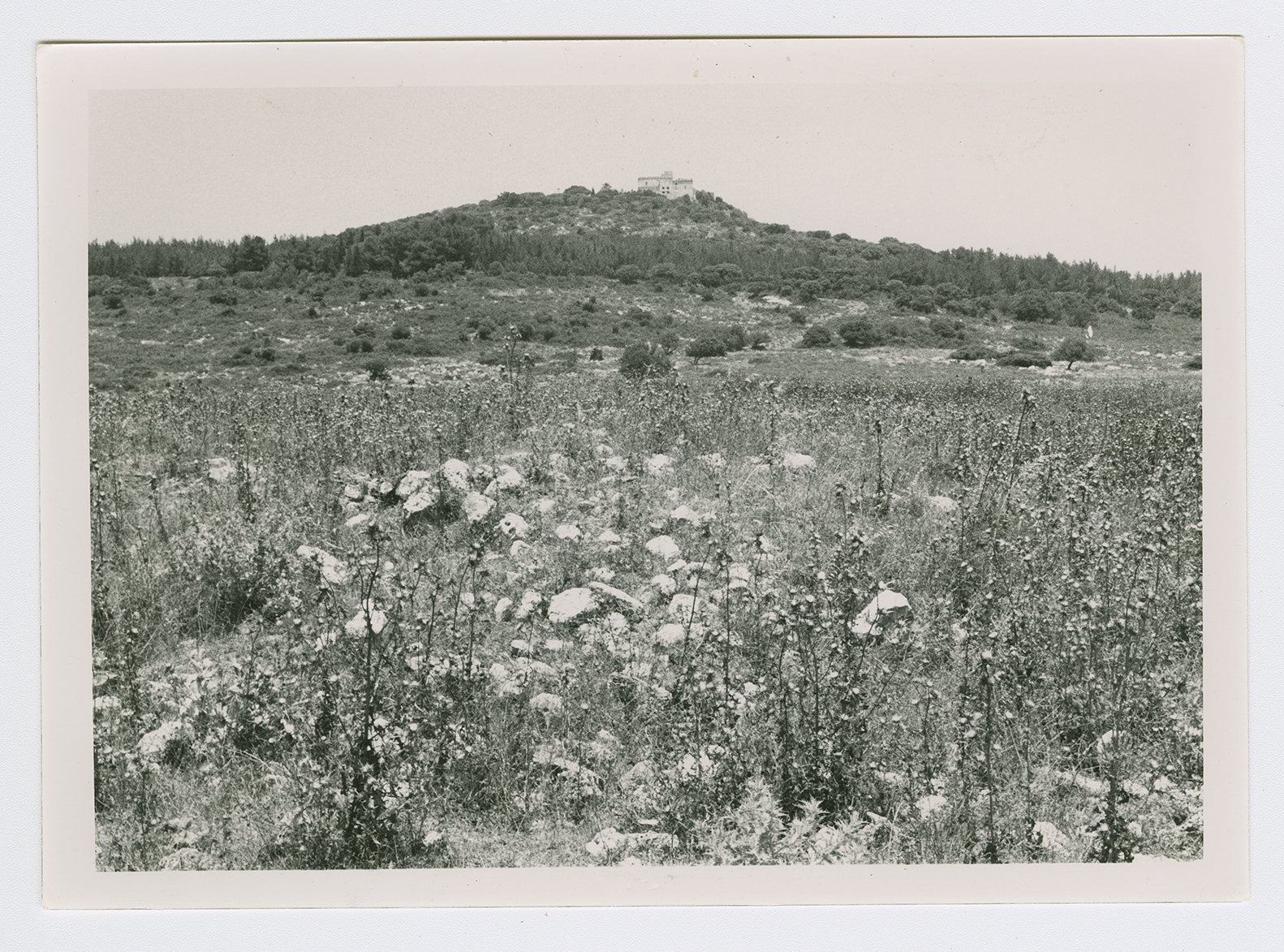
The village, located on the top of a round hill on the northeastern slope of Mount Carmel, faced the Marj ibn Amir plain in the east and north. The mound of Tall Qamun was about 1 km to the southeast. Khirbat al-Mansura was classified as a hamlet in the Palestine Index Gazetteer. The villagers were predominantly Druze. Although it has not been possible to identify Khirbat al-Mansura with any known historical site its antiquity was evident from the ruins of building foundations and rock-cut tombs in and around the site.

Most of the villages around Khirbat al-Mansura were occupied in the wake of the fall of Haifa. Khirbat al-Mansura was probably no exception; it may have succumbed to a Haganah assault as part of Operation Bi'ur Hametz ("Passover Clearing").

The village lands have been merged with those of the Arab town of Daliyat al-Karmil.

No traces of the houses remain. Storage houses for grain have been built 200 m south of the site by a farmer from the Arab town of Isfiya.

t