| Year | Arab | Total |
|---|---|---|
| 1931 | 712 | 712 |
| 1944/45 | 950 | 950 |
| Year | Arab | Public | Total |
|---|---|---|---|
| 1944/45 | 17240 | 2258 | 19498 |
| Use | Arab | Public | Total | ||||||||||||
|---|---|---|---|---|---|---|---|---|---|---|---|---|---|---|---|
|
8782 | 2258 | 11040 (57%) | ||||||||||||
|
8458 | 8458 (43%) |
The village was situated on uneven ground in the heart of upper Galilee, about 4 km south of the Lebanese border. It was linked via secondary roads to neighboring villages. The Crusaders called this site Alme. In 1596, 'Alma was a village in the nahiya of Jira (liwa' of Safad) with a population of 239. It paid taxes on goats, beehives, a water-powered mill, and a press that was used for processing either olives or grapes. ![]() In the late nineteenth century, 'Alma was a village built of stone with about 250 residents. It was situated in the middle of a fertile plain that contained a few gardens.
In the late nineteenth century, 'Alma was a village built of stone with about 250 residents. It was situated in the middle of a fertile plain that contained a few gardens. ![]() In modern times its land area was larger than that of most other villages in the Safad sub-disctrict. It had a pool on its eastern edge and two water tanks, one on the southern side and the other on the southwestern.
In modern times its land area was larger than that of most other villages in the Safad sub-disctrict. It had a pool on its eastern edge and two water tanks, one on the southern side and the other on the southwestern.
The residents of 'Alma were Muslims. They maintained a mosque for the village as well as an elementary school, which they shared with the neighboring village of al-Rihaniyya. The villagers obtained their living mainly from the land, raising livestock and growing crops, particularly grain and fruit. Their fruit orchards were concentrated on the northern and northwestern outskirts of the village. In the 1942/43 season olive trees were grown on 750 dunums of village land, which was the largest area devoted to olives in the sub-disctrict. The trees on 550 dunums were bearing fruit, which was processed with two horse-powered olive presses. In 1944 a total of 7,475 dunums was allocated to cereals and 983 dunums were irrigated or used for orchards. Several ancient ruins were located near the village, and three inscribed architectural fragments from an ancient synagogue were found on the surface of the village site between 1914 and 1957. The inscriptions were in Hebrew and Aramaic. ![]()
Israeli units reached 'Alma in the latter stages of Operation Hiram (see 'Arab al-Samniyya, Acre sub-disctrict), on 30 October 1948, according to Israeli historian Benny Morris. He reports that the villagers had largely stayed put, despite the massacres committed by Israeli forces in Safsaf and Jish, both about 6 km southwest of 'Alma, on the previous day. Although the Israeli Minority Affairs Ministry later listed 'Alma among the villages that had surrendered during the operation and were therefore not 'punished,' Morris states that its residents were 'uprooted and expelled.' He does not give the circumstances of expulsion, but it was either carried out by units of the Seventh Brigade during the attack itself, or was implemented following an official decision taken in subsequent weeks. ![]()
The settlement of 'Alma (197273) was built on village land in 1949, about 0.5 km east of the village site.
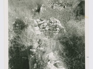
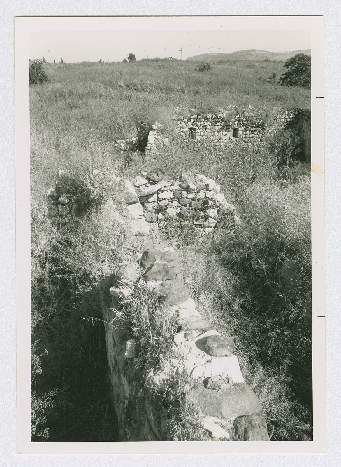
The site is fenced-in and contains the rubble of former houses, covered with thorny grasses. One truncated stone wall with a door and two windows still stands. The land is planted with fruit trees by Israeli farmers.