The village was located on sandhills that lay 5 km southeast of Qisarya, overlooking the muddy ground of the plains around Wadi al-Mafjar. In 1944/45 a total of 263 dunums of its land was allocated to cereals.
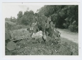
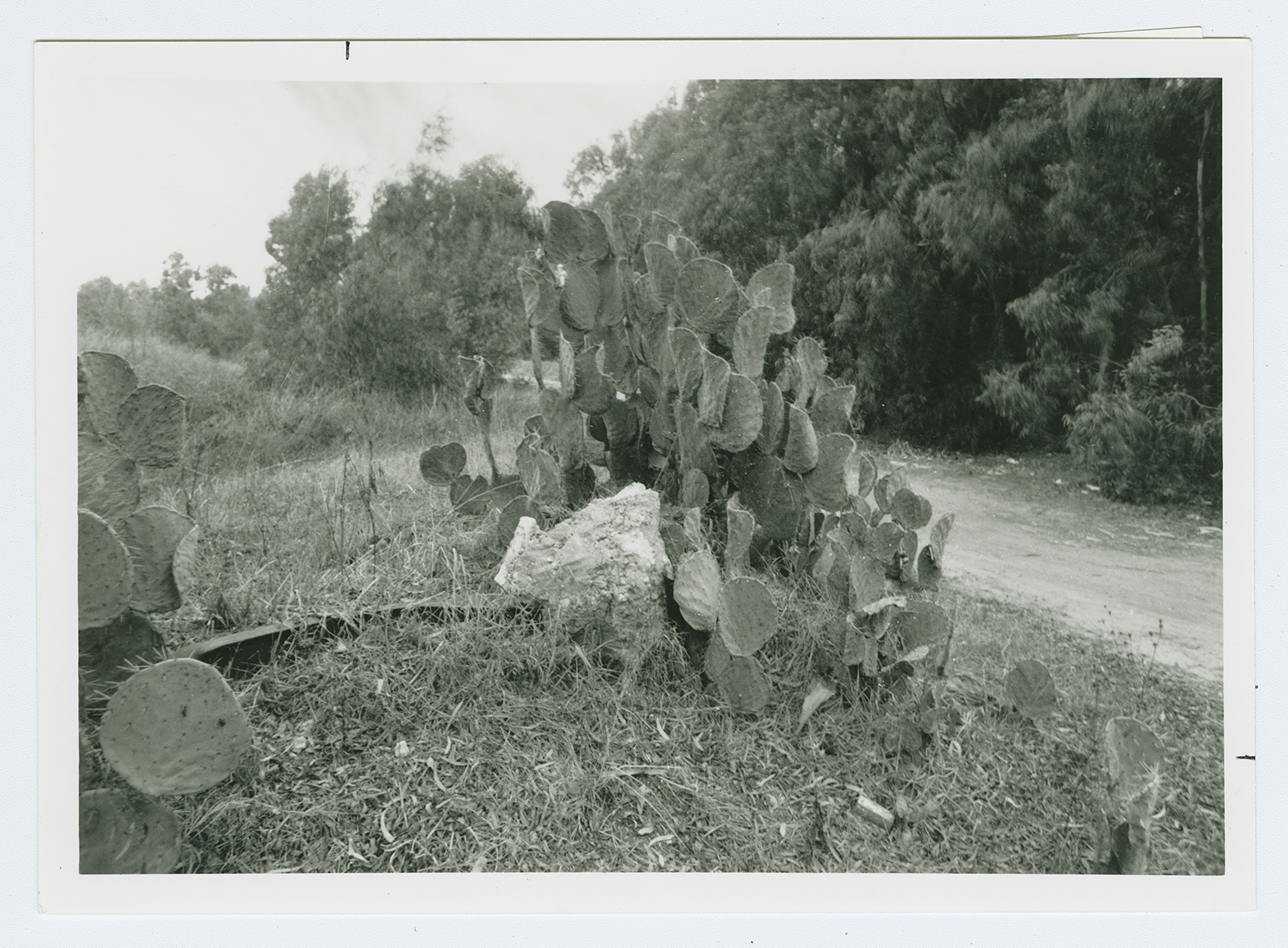
The site, overgrown with grass and plants, is mostly covered with sand dunes. Some cactuses and tamarisk trees also grow there, and parts of the adjacent land are used for agriculture by Israeli farmers.